
1956 Map of Vincennes
USGS Topo · Published 1967About this map
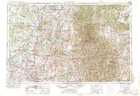
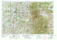
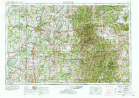
Vincennes and the lower Wabash River valley anchor this mid-century topographic study of Southern Indiana and Eastern Illinois. The landscape is defined by the convergence of major waterways, where the White River and Patoka River meet the Wabash, and the Ohio River forms the winding southern boundary near Evansville. This era reveals a region heavily integrated with rail transport, featuring the Baltimore and Ohio RR and Monon RR spanning the rural counties.
Find a feature on this map
145 named features on this map. Tap any name to fly to it.
Don’t see what you’re looking for? This feature index may not catch every label — zoom into the map to look around manually.
Map Details
Editions of this 1956 Vincennes Map
4 editions found
Other maps of this area

1900 · St Meinrad
USGS Topo · 1:62,500

1900 · De Gonia Springs
USGS Topo · 1:62,500

1901 · Owensboro
USGS Topo · 1:62,500

1901 · Princeton
USGS Topo · 1:62,500

1901 · Haubstadt
USGS Topo · 1:62,500

1902 · Ditney
USGS Topo · 1:125,000

1902 · Degonia Springs
USGS Topo · 1:62,500

1902 · Boonville
USGS Topo · 1:62,500

1903 · St. Meinrad
USGS Topo · 1:62,500

1903 · Velpen
USGS Topo · 1:62,500