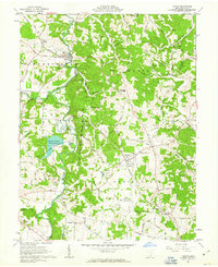
1961 Map of Vinton
USGS Topo · Published 1963About this map
Raccoon Creek meanders through Gallia County, carving a path through the townships of Morgan, Huntington, and Springfield. During the early 1960s, this area was defined by its small agricultural and mining communities, connected by the Chesapeake and Ohio railroad which served settlements like Vinton, Bidwell, and Porter. The creation of the Tycoon Lake State Wildlife Area is a prominent landscape feature, surrounding Tycoon Lake and the nearby Sanctuary Cem.
Find a feature on this map
57 named features on this map. Tap any name to fly to it.
Don’t see what you’re looking for? This feature index may not catch every label — zoom into the map to look around manually.
Map Details
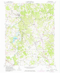
Editions of this 1961 Vinton Map
2 editions found
Other maps of this area

1905 · Wilkesville
USGS Topo · 1:62,500

1906 · Bidwell
USGS Topo · 1:62,500

1907 · Pomeroy
USGS Topo · 1:62,500

1908 · Bidwell
USGS Topo · 1:62,500

1908 · Point Pleasant
USGS Topo · 1:62,500

1908 · Wilkesville
USGS Topo · 1:62,500

1926 · Point Pleasant
USGS Topo · 1:62,500

1929 · Point Pleasant
USGS Topo · 1:62,500

1947 · Columbus
USGS Topo · 1:250,000

1957 · Huntington
USGS Topo · 1:250,000