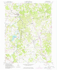
1961 Map of Vinton
USGS Topo · Published 1977About this map
The Chesapeake and Ohio railroad corridor anchors this survey of southern Gallia County, tracking the industrial and agricultural landscape as it appeared in the early 1960s. The village of Vinton serves as a northern hub, where the Vinton Memorial Cemetery and local churches like Morgan Church reflect deep-rooted community ties. To the south, the topography shifts around the Tycoon Lake State Wildlife Area, where the waters of Raccoon Creek and Little Raccoon Creek create a complex drainage system through the Huntington and Morgan townships.
Find a feature on this map
109 named features on this map. Tap any name to fly to it.
Don’t see what you’re looking for? This feature index may not catch every label — zoom into the map to look around manually.
Map Details
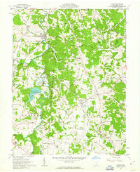
Editions of this 1961 Vinton Map
2 editions found
Other maps of this area

1905 · Wilkesville
USGS Topo · 1:62,500

1906 · Bidwell
USGS Topo · 1:62,500

1907 · Pomeroy
USGS Topo · 1:62,500

1908 · Bidwell
USGS Topo · 1:62,500

1908 · Point Pleasant
USGS Topo · 1:62,500

1908 · Wilkesville
USGS Topo · 1:62,500

1926 · Point Pleasant
USGS Topo · 1:62,500

1929 · Point Pleasant
USGS Topo · 1:62,500

1947 · Columbus
USGS Topo · 1:250,000

1957 · Huntington
USGS Topo · 1:250,000