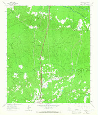
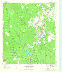
1963 Map of Wakefield
USGS Topo · Published 1966About this map
Wakefield and the neighboring community of Skinner Town are central to this landscape in the early 1960s, a region defined by the convergence of industrial transit and natural water systems. The Southern Pacific railroad runs north-south through the terrain, paralleling Rocky Creek and serving as a corridor for local commerce. To the northeast, the Neches River forms a complex boundary marked by Dollarhide Island and the Cutoff, where the river's path is carved through dense woodland.
Find a feature on this map
30 named features on this map. Tap any name to fly to it.
Don’t see what you’re looking for? This feature index may not catch every label — zoom into the map to look around manually.
Map Details
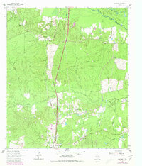
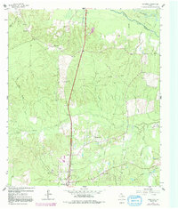
Editions of this 1963 Wakefield Map
Other maps of this area

1927 · Lufkin 4-c
USGS Topo · 1:24,000

1932 · Manning
USGS Topo · 1:62,500

1953 · Palestine
USGS Topo · 1:250,000

1954 · Beaumont
USGS Topo · 1:250,000

1955 · Camden
USGS Topo · 1:62,500

1955 · New Willard
USGS Topo · 1:62,500

1957 · Beaumont
USGS Topo · 1:250,000

1957 · Palestine
USGS Topo · 1:250,000
1963 · Apple Springs
USGS Topo · 1:24,000
1963 · Diboll
USGS Topo · 1:24,000