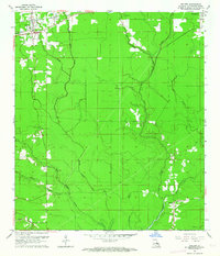
1962 Map of Walker
USGS Topo · Published 1964About this map
The town of Walker serves as a primary hub in this early 1960s survey of Livingston Parish, positioned along the Illinois Central railroad. This transportation corridor connects the settlements of Corbin and Livingston, while the surrounding landscape is defined by an intricate network of waterways, including Middle Colyell Creek, Little Colyell Creek, and Prairie Bayou. The abundance of small bayous and creeks suggests a low-lying terrain where drainage and seasonal water flow dictated the placement of roads and rural homesteads.
Find a feature on this map
21 named features on this map. Tap any name to fly to it.
Don’t see what you’re looking for? This feature index may not catch every label — zoom into the map to look around manually.
Map Details
Editions of this 1962 Walker Map
4 editions found
Other maps of this area

1934 · Denham Springs
USGS Topo · 1:62,500

1934 · Springfield
USGS Topo · 1:62,500

1939 · Springfield
USGS Topo · 1:62,500

1939 · Denham Springs
USGS Topo · 1:62,500

1942 · Watson
USGS Topo · 1:31,680

1942 · Satsuma
USGS Topo · 1:31,680

1950 · Doyle
USGS Topo · 1:31,680

1953 · Walker
USGS Topo · 1:24,000
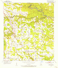
1953 · Prairieville
USGS Topo · 1:24,000
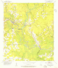
1953 · French Settlement
USGS Topo · 1:24,000