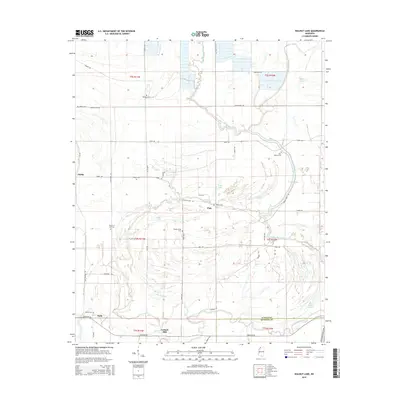
2015 Map of Walnut Lake
USGS Topo · Published 2015About this map
Gerlach Mill and the banks of the Coldwater River anchor the southern reaches of this Northwest Mississippi landscape, where the flat alluvial plain is etched by an intricate network of bayous and oxbow lakes. The settlement pattern is defined by rural crossroads and family-named landmarks, such as the small community of Pink and the cluster of homes at Dubbs. The area is notably dense with cemetery sites, reflecting a deep-rooted local genealogy through Daygo Cem, Phillips Cem, and New Baptist Cem.
Find a feature on this map
56 named features on this map. Tap any name to fly to it.
Don’t see what you’re looking for? This feature index may not catch every label — zoom into the map to look around manually.
Map Details
Editions of this 2015 Walnut Lake Map
This is the sole edition of this map. No revisions or reprints were ever made.
Other maps of this area

1908 · Lula
USGS Topo · 1:24,000

1908 · Dundee
USGS Topo · 1:24,000

1908 · Hollywood
USGS Topo · 1:24,000

1908 · Walnut Lake
USGS Topo · 1:24,000

1910 · Dundee
USGS Topo · 1:31,680

1910 · Walnut Lake
USGS Topo · 1:31,680

1912 · Lula
USGS Topo · 1:31,680

1913 · Hollywood
USGS Topo · 1:31,680

1932 · Sledge
USGS Topo · 1:48,000

1932 · Marks
USGS Topo · 1:48,000