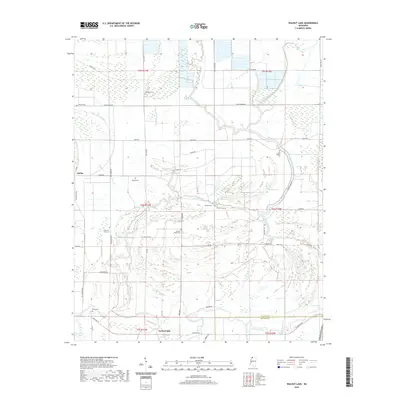
2020 Map of Walnut Lake
USGS Topo · Published 2020About this map
Dubbs sits at the western edge of this landscape where the Tunica Co Quitman Co border defines the southern boundary. The territory is heavily shaped by an intricate network of waterways, most notably Walnut Lake, Lake Tyranza, and the winding Coldwater River. This area in the Mississippi Delta reveals a high density of small family and community burial grounds, such as Bethany Cem, Daygo Cem, and Dooley Wood Cem, which are often the only remaining markers of early settlement patterns and genealogical history in the region. The map also records the location of Gerlach Mill and several bayous including McNeil Bayou and Brushy Bayou, illustrating the reliance on the river-and-lake system for drainage and local industry. A system of levees, including the Cold Water River Levee, highlights the ongoing management of this low-lying floodplain.
Find a feature on this map
56 named features on this map. Tap any name to fly to it.
Don’t see what you’re looking for? This feature index may not catch every label — zoom into the map to look around manually.
Map Details
Editions of this 2020 Walnut Lake Map
This is the sole edition of this map. No revisions or reprints were ever made.
Other maps of this area

1908 · Lula
USGS Topo · 1:24,000

1908 · Dundee
USGS Topo · 1:24,000

1908 · Hollywood
USGS Topo · 1:24,000

1908 · Walnut Lake
USGS Topo · 1:24,000

1910 · Dundee
USGS Topo · 1:31,680

1910 · Walnut Lake
USGS Topo · 1:31,680

1912 · Lula
USGS Topo · 1:31,680

1913 · Hollywood
USGS Topo · 1:31,680

1932 · Sledge
USGS Topo · 1:48,000

1932 · Marks
USGS Topo · 1:48,000