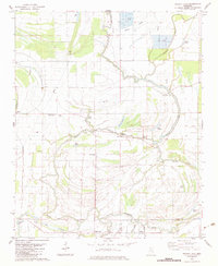
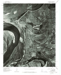
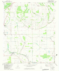
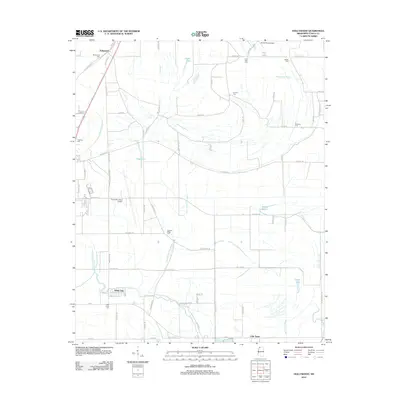
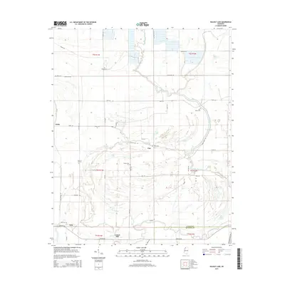
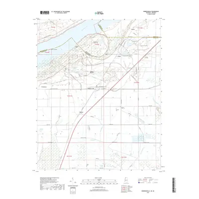
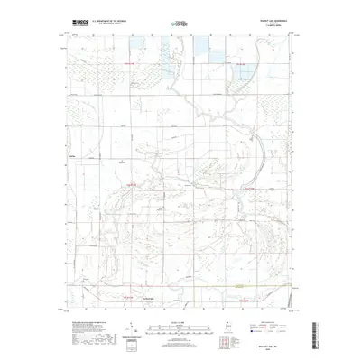
1982 Map of Walnut Lake
USGS Topo · Published 1983About this map
White Oak Bayou and Brushy Bayou weave through the alluvial lowlands of northwestern Mississippi, defining a landscape shaped by water and agriculture. Near the Tunica and Quitman County line, the small settlement of Dubbs serves as a local hub, featuring the Dubbs Sch and nearby Jehovan Rest Ch. The map reveals a dense network of rural spiritual and community life, with numerous landmarks like Bethany Ch, Antioch Ch, and Phillips Ch scattered across the floodplains.
Find a feature on this map
37 named features on this map. Tap any name to fly to it.
Don’t see what you’re looking for? This feature index may not catch every label — zoom into the map to look around manually.
Map Details
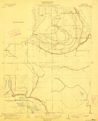
Editions of this 1982 Walnut Lake Map
This is the sole edition of this map. No revisions or reprints were ever made.
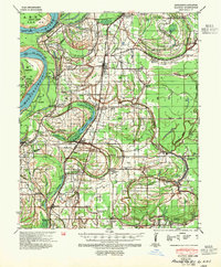
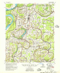
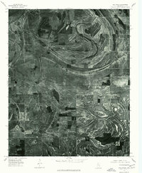
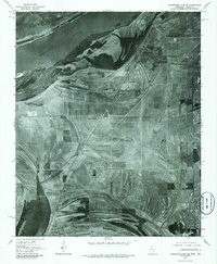
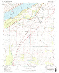
Historical Maps of Hally Through Time
35 maps found

1908 Hollywood
Tunica County, MS

1908 Walnut Lake
Tunica County, MS

1910 Walnut Lake
Tunica County, MS
1913 Hollywood
Tunica County, MS
1939 Clayton
Tunica County, MS
1955 Clayton
Tunica County, MS
1975 Clayton NW
Tunica County, MS
1975 Hollywood
Tunica County, MS
1975 Horseshoe Lake SE
Tunica County, MS

1975 Walnut Lake
Tunica County, MS
1981 Robinsonville
Tunica County, MS
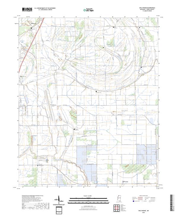
1982 Hollywood
Tunica County, MS
1982 Stubbs Island
Tunica County, MS
1982 Walnut Lake
Tunica County, MS
2011 Robinsonville
Tunica County, MS
2011 Stubbs Island
Tunica County, MS
2012 Hollywood
Tunica County, MS
2012 Robinsonville
Tunica County, MS
2012 Walnut Lake
Tunica County, MS
2015 Hollywood
Tunica County, MS
2015 Robinsonville
Tunica County, MS
2015 Stubbs Island
Tunica County, MS
2015 Walnut Lake
Tunica County, MS
2018 Hollywood
Tunica County, MS
2018 Robinsonville
Tunica County, MS
2018 Stubbs Island
Tunica County, MS
2018 Walnut Lake
Tunica County, MS
2020 Hollywood
Tunica County, MS
2020 Robinsonville
Tunica County, MS
2020 Walnut Lake
Tunica County, MS
2021 Stubbs Island
Tunica County, MS
2024 Hollywood
Tunica County, MS
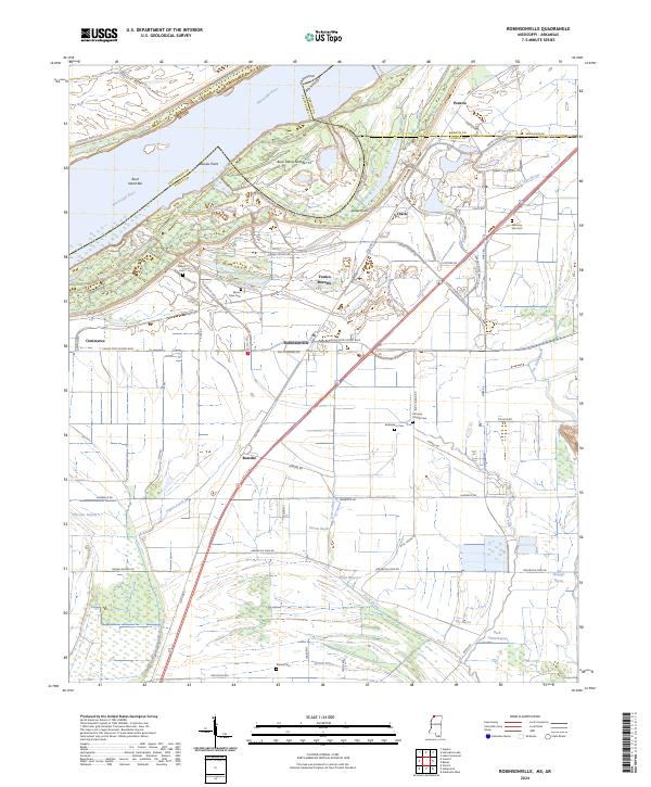
2024 Robinsonville
Tunica County, MS
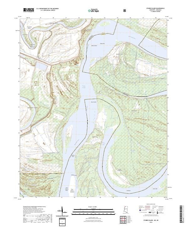
2024 Stubbs Island
Tunica County, MS
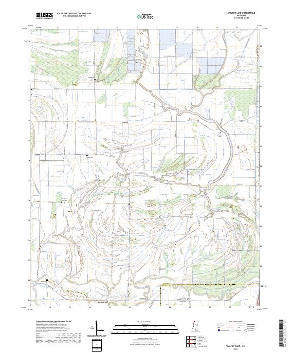
2024 Walnut Lake
Tunica County, MS