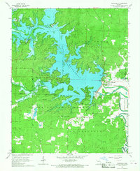
1966 Map of Wappapello
USGS Topo · Published 1967About this map
Lake Wappapello dominates this mid-1960s landscape, its sprawling waters controlled by the Wappapello Dam on the St Francis River. The map captures a transition toward recreation and forestry, featuring several designated zones like the Walnut Cove Recreation Area and the extensive Clark National Forest. Settlement patterns are concentrated at Chaonia and Wappapello, providing a look at local infrastructure including the Davis Landing Strip and a Fish Hatchery. Local history is preserved in landmarks such as Little Brushy Ch, Chaonia Cem, and Kelly Cem. The terrain is characterized by named ridges and hollows like Lone Star Ridge and Mule Camp Hollow, while the St Francois Divide marks the southern high ground above West Prong Indian Creek.
Find a feature on this map
57 named features on this map. Tap any name to fly to it.
Don’t see what you’re looking for? This feature index may not catch every label — zoom into the map to look around manually.
Map Details
Editions of this 1966 Wappapello Map
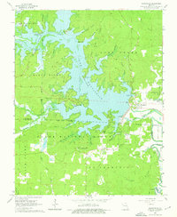
2 editions found
Other maps of this area

1934 · Greenville
USGS Topo · 1:62,500

1934 · Puxico
USGS Topo · 1:62,500

1935 · Poplar Bluff
USGS Topo · 1:62,500

1935 · Zalma
USGS Topo · 1:62,500

1939 · Greenville
USGS Topo · 1:62,500

1939 · Puxico
USGS Topo · 1:62,500

1939 · Zalma
USGS Topo · 1:62,500

1939 · Poplar Bluff
USGS Topo · 1:62,500

1949 · Rolla
USGS Topo · 1:250,000

1949 · Poplar Bluff
USGS Topo · 1:62,500