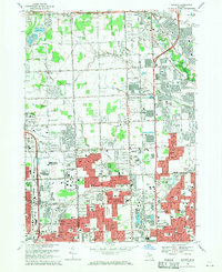
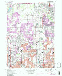
1968 Map of Warren
USGS Topo · Published 1971About this map
The suburban expansion of southern Macomb and Oakland Counties is caught in a moment of rapid transformation on this 1968 survey. The transition from rural township roads to heavy arterial development is evident in the grid of numbered corridors from 19 Mile Road down to 12 Mile Road, with the Chrysler Expressway cutting north-south. The map reveals the burgeoning social infrastructure of Warren and Sterling Heights, marked by a high density of new educational institutions like Cousino High Sch and Mott High Sch.
Find a feature on this map
91 named features on this map. Tap any name to fly to it.
Don’t see what you’re looking for? This feature index may not catch every label — zoom into the map to look around manually.
Map Details
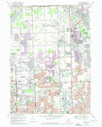
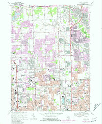
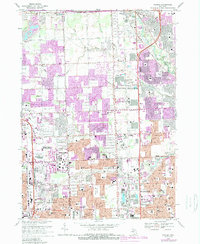
Editions of this 1968 Warren Map
5 editions found
Other maps of this area

1905 · Detroit
USGS Topo · 1:62,500

1905 · Grosse Pointe
USGS Topo · 1:62,500

1908 · Rochester
USGS Topo · 1:62,500

1912 · Mt Clemens
USGS Topo · 1:62,500

1918 · Detroit
USGS Topo · 1:62,500

1918 · Grosse Pointe
USGS Topo · 1:62,500

1924 · Detroit
USGS Topo · 1:62,500

1929 · Mt Clemens
USGS Topo · 1:62,500

1934 · Detroit
USGS Topo · 1:62,500

1936 · Warren
USGS Topo · 1:31,680