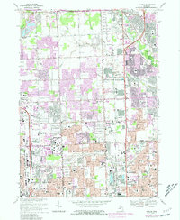
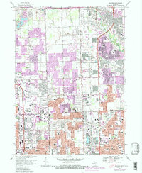
1968 Map of Warren
USGS Topo · Published 1981About this map
The suburban landscape of southeast Michigan during the late 1960s and 1970s is captured here, centered on the rapidly developing corridor between Warren and Sterling Heights. The map reveals a transition from traditional agricultural sections, marked by family plots like Warner Cemetery, to dense residential grids and school clusters such as Stevenson High School and Mott High School. The purple-shaded areas highlight the expansive urban growth that occurred during the 1973 and 1978 updates, showing how housing subdivisions filled the spaces between historic drainages like Plum Brook and Bear Creek. Infrastructure plays a central role, with the Penn Central railroad and the Chrysler Expressway providing the backbone for industrial and commuter expansion. Along the eastern edge, the Clinton River flows past Dodge Bros State Park No 9, offering a preserved natural pocket amidst the surrounding municipal sprawl.
Find a feature on this map
76 named features on this map. Tap any name to fly to it.
Don’t see what you’re looking for? This feature index may not catch every label — zoom into the map to look around manually.
Map Details
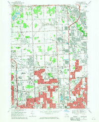
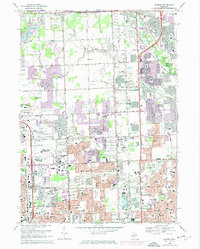
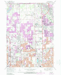
Editions of this 1968 Warren Map
5 editions found
Other maps of this area

1905 · Detroit
USGS Topo · 1:62,500

1905 · Grosse Pointe
USGS Topo · 1:62,500

1908 · Rochester
USGS Topo · 1:62,500

1912 · Mt Clemens
USGS Topo · 1:62,500

1918 · Detroit
USGS Topo · 1:62,500

1918 · Grosse Pointe
USGS Topo · 1:62,500

1924 · Detroit
USGS Topo · 1:62,500

1929 · Mt Clemens
USGS Topo · 1:62,500

1934 · Detroit
USGS Topo · 1:62,500

1936 · Warren
USGS Topo · 1:31,680