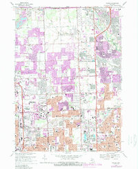
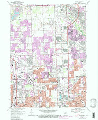
1968 Map of Warren
USGS Topo · Published 1989About this map
The expanding suburbs of the Madison Heights and Warren area reflect the rapid postwar urbanization of southeastern Michigan. This survey captures a landscape in transition, where the historic Dodge Bros State Park No 8 along the Clinton River meets the burgeoning commercial footprint of the Oakland Mall Shopping Center. The dense grid of residential developments is punctuated by a high concentration of educational institutions, including Stevenson High Sch and Cousino High Sch, illustrating the mid-century population boom in Sterling Heights.
Find a feature on this map
89 named features on this map. Tap any name to fly to it.
Don’t see what you’re looking for? This feature index may not catch every label — zoom into the map to look around manually.
Map Details
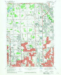
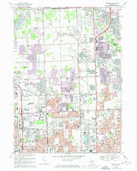
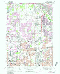
Editions of this 1968 Warren Map
5 editions found
Other maps of this area

1905 · Detroit
USGS Topo · 1:62,500

1905 · Grosse Pointe
USGS Topo · 1:62,500

1908 · Rochester
USGS Topo · 1:62,500

1912 · Mt Clemens
USGS Topo · 1:62,500

1918 · Detroit
USGS Topo · 1:62,500

1918 · Grosse Pointe
USGS Topo · 1:62,500

1924 · Detroit
USGS Topo · 1:62,500

1929 · Mt Clemens
USGS Topo · 1:62,500

1934 · Detroit
USGS Topo · 1:62,500

1936 · Warren
USGS Topo · 1:31,680