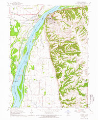
1964 Map of Warsaw
USGS Topo · Published 1966About this map
Warsaw sits atop the river bluffs in this mid-1960s study, overlooking the intricate channel of the Mississippi River. The map illustrates a complex riparian landscape where the Chicago Burlington and Quincy railroad tracks skirt the western shoreline through Gregory Landing and Alexandria. The contrast between the flat, slough-carved bottomlands to the west and the dissected uplands of Wilcox and Rocky Run to the east is starkly defined by the Bluff Canal.
Find a feature on this map
45 named features on this map. Tap any name to fly to it.
Don’t see what you’re looking for? This feature index may not catch every label — zoom into the map to look around manually.
Map Details
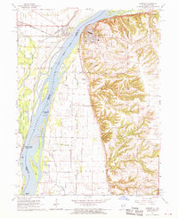
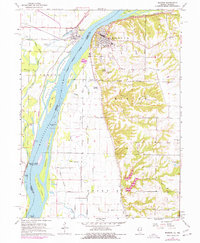
Editions of this 1964 Warsaw Map
3 editions found
Other maps of this area

1903 · Kahoka
USGS Topo · 1:125,000

1936 · Keokuk
USGS Topo · 1:62,500

1946 · Mendon
USGS Topo · 1:62,500

1948 · Mendon
USGS Topo · 1:62,500

1949 · Wayland
USGS Topo · 1:24,000

1949 · Kahoka SE
USGS Topo · 1:24,000

1950 · Kahoka SE
USGS Topo · 1:24,000

1950 · Wayland
USGS Topo · 1:24,000

1950 · Keokuk
USGS Topo · 1:62,500

1950 · Canton
USGS Topo · 1:24,000