
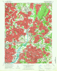
1965 Map of Washington East
USGS Topo · Published 1971About this map
RFK Stadium and the bend of the Anacostia River anchor this 1960s survey of the eastern approaches to the nation's capital. The map captures a period of intense suburbanization across the Maryland District of Columbia line, where neighborhoods like Langley Park, University Park, and Mount Rainier bridge the gap between historic urban districts and the growing Prince George's County corridor. Significant institutional footprints define the landscape, including Gallaudet College, the National Training School For Boys, and the National Arboretum.
Find a feature on this map
206 named features on this map. Tap any name to fly to it.
Don’t see what you’re looking for? This feature index may not catch every label — zoom into the map to look around manually.
Map Details
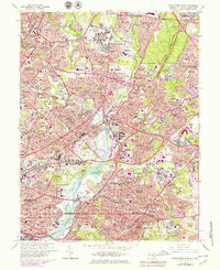
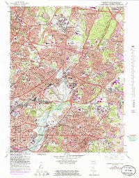
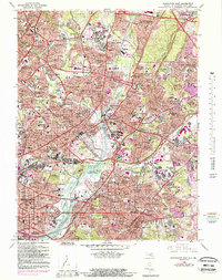
Editions of this 1965 Washington East Map
5 editions found
Other maps of this area

1890 · Mt. Vernon
USGS Topo · 1:125,000

1891 · Mt. Vernon
USGS Topo · 1:125,000

1892 · Laurel
USGS Topo · 1:62,500

1893 · Frederick
USGS Topo · 1:125,000

1894 · Laurel
USGS Topo · 1:62,500

1894 · Frederick
USGS Topo · 1:125,000

1894 · Mt. Vernon
USGS Topo · 1:125,000

1897 · Laurel
USGS Topo · 1:62,500

1897 · Mt. Vernon
USGS Topo · 1:125,000

1899 · Patuxent
USGS Topo · 1:125,000