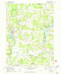
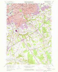
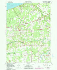
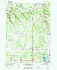
1967 Map of Waterford
USGS Topo · Published 1973This historical map portrays the area of Waterford in 1967, primarily covering Erie County. Featuring a scale of 1:24000, this map provides a highly detailed snapshot of the terrain, roads, buildings, counties, and historical landmarks in the Waterford region at the time. Published in 1973, it is one of 3 known editions of this map due to revisions or reprints.
Find a feature on this map
56 named features on this map. Tap any name to fly to it.
Don’t see what you’re looking for? This feature index may not catch every label — zoom into the map to look around manually.
Map Details
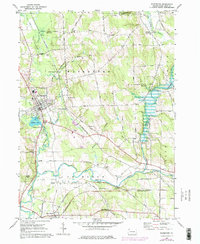
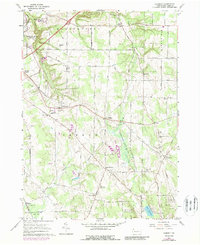
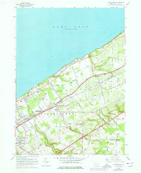
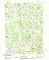
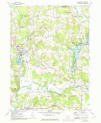
Editions of this 1967 Waterford Map
3 editions found
Historical Maps of Amity Township Through Time
19 maps found
1900 Fairview
Erie County, PA

1913 North East
Erie County, PA
1915 North East
Erie County, PA

1943 North East
Erie County, PA
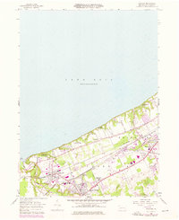
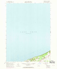
1957 Erie South
Erie County, PA
1957 Fairview
Erie County, PA
1957 Fairview SW
Erie County, PA
1957 Swanville
Erie County, PA
1959 East Springfield
Erie County, PA
1960 Hammett
Erie County, PA
1960 Harborcreek
Erie County, PA
1967 Cambridge Springs NE
Erie County, PA
1967 Edinboro North
Erie County, PA
1967 Waterford
Erie County, PA

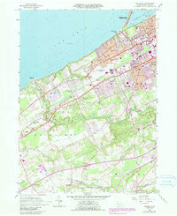
1996 Erie South
Erie County, PA
1996 Fairview SW
Erie County, PA

1996 Harborcreek
Erie County, PA
1998 Fairview
Erie County, PA

1998 Swanville
Erie County, PA
Featured Locations
- Mill Village, PA
- Greene Township, PA
- Venango Township, PA
- Waterford, PA
- Valley Corners, Waterford Township