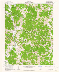
1961 Map of Waterloo
USGS Topo · Published 1963About this map
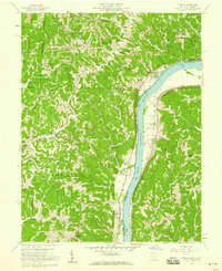
The rugged hill country of Wayne National Forest dominates this early 1960s survey, illustrating a landscape defined by sharp ridges and narrow hollows. Settlements like Waterloo and Arabia serve as anchors in a region where economic activity is visibly tied to the earth, marked by numerous Strip Mines, a Quarry, and a Tipple. The topography is dissected by winding watercourses including Symmes Creek and Sand Fork, which dictated the placement of early road networks like Hull Creek Road and Jackson Road.
Find a feature on this map
72 named features on this map. Tap any name to fly to it.
Don’t see what you’re looking for? This feature index may not catch every label — zoom into the map to look around manually.
Map Details
Editions of this 1961 Waterloo Map
4 editions found
Other maps of this area

1898 · Ironton
USGS Topo · 1:62,500

1900 · Ironton
USGS Topo · 1:62,500

1906 · Bidwell
USGS Topo · 1:62,500

1906 · Athalia
USGS Topo · 1:62,500

1908 · Bidwell
USGS Topo · 1:62,500

1908 · Athalia
USGS Topo · 1:62,500

1912 · Oak Hill
USGS Topo · 1:62,500

1957 · Huntington
USGS Topo · 1:250,000
1958 · Athalia
USGS Topo · 1:24,000

1960 · Huntington
USGS Topo · 1:250,000