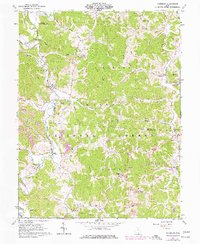
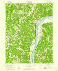
1961 Map of Waterloo
USGS Topo · Published 1977About this map
Symmes Creek carves a winding path through this corner of the Wayne National Forest, where the settlement of Waterloo serves as a primary local landmark. The landscape is defined by its deep ridges and hollows, such as Hog Back Ridge and Coffee and Tea Hollow, reflecting a region deeply tied to its geography. Extensive evidence of the extraction industry is present, with numerous Strip Mine operations and a Tipple mapped near Arabia.
Find a feature on this map
66 named features on this map. Tap any name to fly to it.
Don’t see what you’re looking for? This feature index may not catch every label — zoom into the map to look around manually.
Map Details
Editions of this 1961 Waterloo Map
4 editions found
Other maps of this area

1898 · Ironton
USGS Topo · 1:62,500

1900 · Ironton
USGS Topo · 1:62,500

1906 · Bidwell
USGS Topo · 1:62,500

1906 · Athalia
USGS Topo · 1:62,500

1908 · Bidwell
USGS Topo · 1:62,500

1908 · Athalia
USGS Topo · 1:62,500

1912 · Oak Hill
USGS Topo · 1:62,500

1957 · Huntington
USGS Topo · 1:250,000
1958 · Athalia
USGS Topo · 1:24,000

1960 · Huntington
USGS Topo · 1:250,000