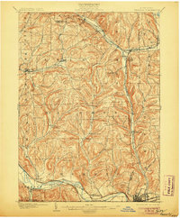
1902 Map of Waverly
USGS Topo · Published 1906About this map
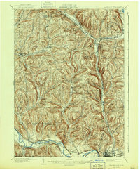
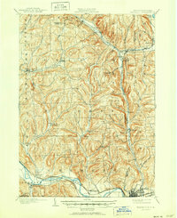
The Chemung River corridor defines the southern landscape of this turn-of-the-century survey, where the Erie R. R. and the Delaware Lackawanna and Western R. R. parallel the water through Wellsburg and Chemung. This region of the Southern Tier is a dense network of valley settlements and upland family-named landmarks. The Lehigh Valley R. R. cuts through the northern hills, connecting Van Etten Junction and Spencer via the Cayuta Creek valley. Numerous small hamlets such as Breesport, Lockwood, and North Chemung are shown with individual building footprints, offering genealogists a clear view of local centers of commerce and residence before modern highway expansion. The terrain is marked by distinctive elevations like Putnam Hill and Shoemaker Mt., while drainage systems like Wynkoop Creek and Baldwin Creek dictate the placement of early rural roads.
Find a feature on this map
67 named features on this map. Tap any name to fly to it.
Don’t see what you’re looking for? This feature index may not catch every label — zoom into the map to look around manually.
Map Details
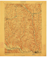
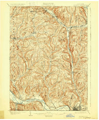
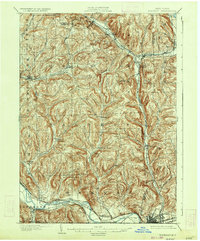
Editions of this 1902 Waverly Map
7 editions found
Other maps of this area

1893 · Ithaca
USGS Topo · 1:62,500

1895 · Ithaca
USGS Topo · 1:62,500

1895 · Elmira
USGS Topo · 1:62,500

1898 · Watkins Glen
USGS Topo · 1:62,500

1900 · Dryden
USGS Topo · 1:62,500

1901 · Watkins
USGS Topo · 1:62,500

1902 · Waverly
USGS Topo · 1:62,500

1903 · Owego
USGS Topo · 1:62,500

1905 · Watkins Glen
USGS Topo · 1:125,000

1906 · Catatonk
USGS Topo · 1:125,000