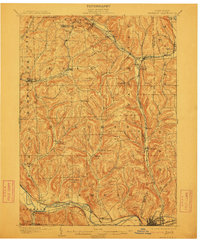
1902 Map of Waverly
USGS Topo · Published 1912About this map
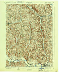
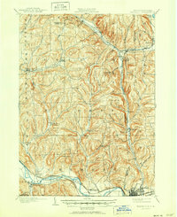
The Chemung River valley dominates the southern landscape of this turn-of-the-century survey, serving as a primary corridor for the Delaware Lackawanna and Western R. R. and the Erie R. R.. These rail lines converge near the bustling hub of Waverly at the Pennsylvania state line, where the industrial and transport character of the era is most evident. The interior hills are a complex network of small agricultural and milling settlements such as Owens Mills, Chemung Center, and Breesport, many of which developed around reliable water sources like Baldwin Creek and Wynkoop Creek. In the northeast, the Lehigh Valley R. R. cuts through the uplands, facilitating connections at Van Etten Junction. This map documents a period of peak rural rail infrastructure before the mid-century consolidation of smaller mountain-valley communities.
Find a feature on this map
60 named features on this map. Tap any name to fly to it.
Don’t see what you’re looking for? This feature index may not catch every label — zoom into the map to look around manually.
Map Details
Editions of this 1902 Waverly Map
7 editions found
Other maps of this area

1893 · Ithaca
USGS Topo · 1:62,500

1895 · Ithaca
USGS Topo · 1:62,500

1895 · Elmira
USGS Topo · 1:62,500

1898 · Watkins Glen
USGS Topo · 1:62,500

1900 · Dryden
USGS Topo · 1:62,500

1901 · Watkins
USGS Topo · 1:62,500

1902 · Waverly
USGS Topo · 1:62,500

1903 · Owego
USGS Topo · 1:62,500

1905 · Watkins Glen
USGS Topo · 1:125,000

1906 · Catatonk
USGS Topo · 1:125,000