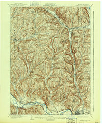
1902 Map of Waverly
USGS Topo · Published 1943About this map
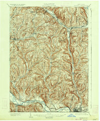
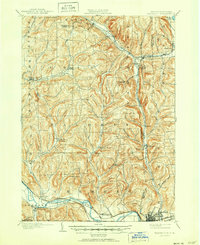
The Chemung River valley defines the southern reaches of this landscape, where the bustling rail hub of Waverly sits just above the New York Pennsylvania state line. This survey, conducted at the close of the 19th century, reveals a complex web of transportation where the Erie R. R. and the Delaware Lackawanna and Western R. R. follow the river's path, while the Lehigh Valley R. R. cuts north through Van Etten.
Find a feature on this map
49 named features on this map. Tap any name to fly to it.
Don’t see what you’re looking for? This feature index may not catch every label — zoom into the map to look around manually.
Map Details
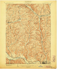
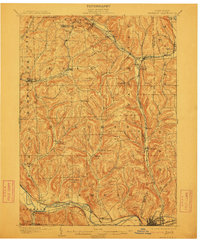
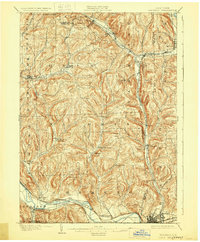
Editions of this 1902 Waverly Map
7 editions found
Other maps of this area

1893 · Ithaca
USGS Topo · 1:62,500

1895 · Ithaca
USGS Topo · 1:62,500

1895 · Elmira
USGS Topo · 1:62,500

1898 · Watkins Glen
USGS Topo · 1:62,500

1900 · Dryden
USGS Topo · 1:62,500

1901 · Watkins
USGS Topo · 1:62,500

1902 · Waverly
USGS Topo · 1:62,500

1903 · Owego
USGS Topo · 1:62,500

1905 · Watkins Glen
USGS Topo · 1:125,000

1906 · Catatonk
USGS Topo · 1:125,000