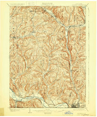
1902 Map of Waverly
USGS Topo · Published 1929About this map
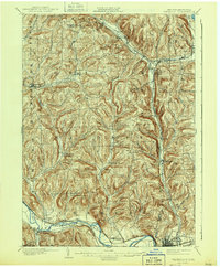
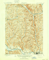
Waverly and the surrounding borderlands of Tioga and Chemung Counties are defined by a complex intersection of rail lines and river valleys at the turn of the century. The Chemung River flows through the southern portion of the map, flanked by the Erie R. R. and the Delaware Lackawanna and Western R. R., signaling the region's importance as a late-19th-century transportation corridor. Further north, the Lehigh Valley R. R. meets the Ithaca Line at Van Etten Junction, a vital node for moving goods and people through the upland terrain. Rural life is anchored by small settlements like Lockwood, Breesport, and North Chemung, often situated near water sources such as Cayuta Creek or Newtown Creek. The landscape transitions from the broad river flats near Wellsburg and Lowman to prominent peaks like Shoemaker Mt. and Austin Hill, reflecting the varied topography of New York's Southern Tier during this era of industrial and agricultural growth.
Find a feature on this map
64 named features on this map. Tap any name to fly to it.
Don’t see what you’re looking for? This feature index may not catch every label — zoom into the map to look around manually.
Map Details
Editions of this 1902 Waverly Map
7 editions found
Other maps of this area

1893 · Ithaca
USGS Topo · 1:62,500

1895 · Ithaca
USGS Topo · 1:62,500

1895 · Elmira
USGS Topo · 1:62,500

1898 · Watkins Glen
USGS Topo · 1:62,500

1900 · Dryden
USGS Topo · 1:62,500

1901 · Watkins
USGS Topo · 1:62,500

1902 · Waverly
USGS Topo · 1:62,500

1903 · Owego
USGS Topo · 1:62,500

1905 · Watkins Glen
USGS Topo · 1:125,000

1906 · Catatonk
USGS Topo · 1:125,000