
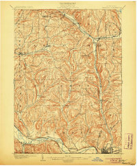
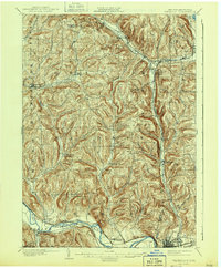
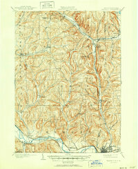
1902 Map of Waverly
USGS Topo · Published 1902About this map
Chemung River valley life at the turn of the century is defined here by the heavy presence of the Lehigh Valley R. R. and the Erie R. R., which weave through the complex glacial topography of the Southern Tier. The map highlights numerous small rail-dependent settlements such as Van Etten, Breesport, and Swartwood, many of which were vital nodes for local agriculture and timber. The convergence of multiple lines at Van Etten Junction illustrates the region's importance as a transportation hub for the Elmira and Cortland Branch.
Find a feature on this map
62 named features on this map. Tap any name to fly to it.
Don’t see what you’re looking for? This feature index may not catch every label — zoom into the map to look around manually.
Map Details
Editions of this 1902 Waverly Map
7 editions found
Other maps of this area

1893 · Ithaca
USGS Topo · 1:62,500

1895 · Ithaca
USGS Topo · 1:62,500

1895 · Elmira
USGS Topo · 1:62,500

1898 · Watkins Glen
USGS Topo · 1:62,500

1900 · Dryden
USGS Topo · 1:62,500

1901 · Watkins
USGS Topo · 1:62,500

1903 · Owego
USGS Topo · 1:62,500

1905 · Watkins Glen
USGS Topo · 1:125,000

1906 · Catatonk
USGS Topo · 1:125,000

1923 · Towanda
USGS Topo · 1:62,500