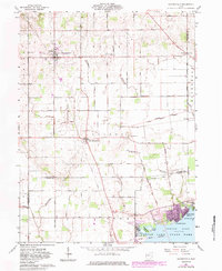
1961 Map of Waynesfield
USGS Topo · Published 1983About this map
Waynesfield and New Hampshire serve as the primary residential hubs in this West-Central Ohio landscape, which was updated in the early 1980s to reflect suburban expansion and local land-use changes. The southern edge of the survey is dominated by the recreational waters of Indian Lake, featuring several named islands including Chippewa Island and Red Oak Island. The topography transitions from the structured grid of farm roads and drainage ditches like Muchinippi Creek to the naturalistic shoreline of Indian Lake State Park.
Find a feature on this map
60 named features on this map. Tap any name to fly to it.
Don’t see what you’re looking for? This feature index may not catch every label — zoom into the map to look around manually.
Map Details
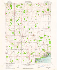
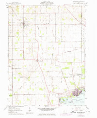
Editions of this 1961 Waynesfield Map
3 editions found
Other maps of this area

1906 · Lima
USGS Topo · 1:62,500

1913 · Alger
USGS Topo · 1:48,000

1913 · Bellefontaine
USGS Topo · 1:48,000

1913 · Sidney
USGS Topo · 1:62,500

1915 · Alger
USGS Topo · 1:62,500

1915 · Bellefontaine
USGS Topo · 1:62,500

1943 · Alger
USGS Topo · 1:62,500

1944 · Sidney
USGS Topo · 1:62,500

1944 · Bellefontaine
USGS Topo · 1:62,500

1950 · Marion
USGS Topo · 1:250,000