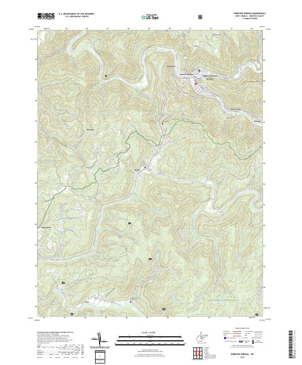
2023 Map of Webster Springs
USGS Topo · Published 2023About this map
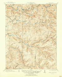
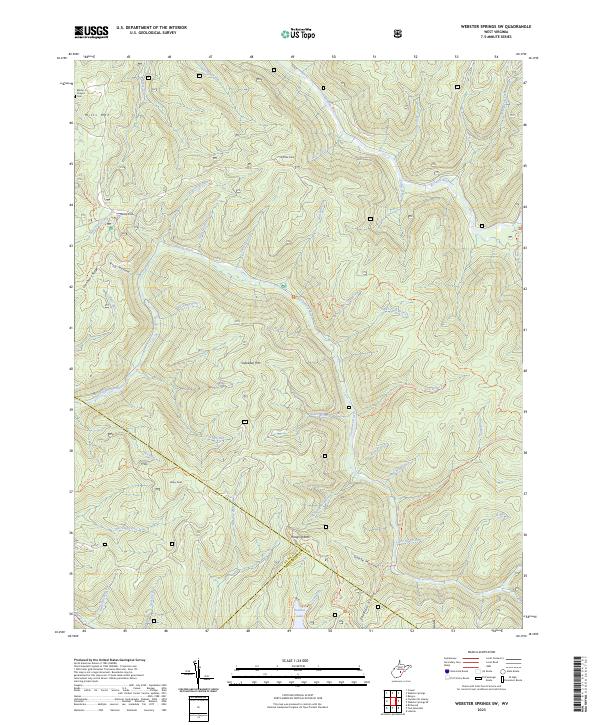
The Webster County Courthouse serves as the focal point for the mountain community of Webster Springs, also known as Addison. Positioned at the confluence of the Elk River and Back Fork Elk River, this area has long been defined by its steep terrain and river valleys. The town's layout follows the tight curves of the riverbanks, with prominent streets like S Main St and Union St hugging the narrow flatlands.
Find a feature on this map
78 named features on this map. Tap any name to fly to it.
Don’t see what you’re looking for? This feature index may not catch every label — zoom into the map to look around manually.
Map Details
Editions of this 2023 Webster Springs Map
This is the sole edition of this map. No revisions or reprints were ever made.
Historical Maps of Cherry Falls Through Time
21 maps found
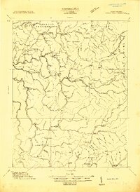
1913 Hacker Valley
Webster County, WV
1915 Hacker Valley
Webster County, WV
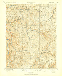
1915 Webster Springs
Webster County, WV
1918 Webster Springs
Webster County, WV
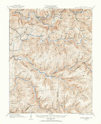
1966 Webster Springs
Webster County, WV
1967 Diana
Webster County, WV
1967 Erbacon
Webster County, WV
1967 Goshen
Webster County, WV
1967 Hacker Valley
Webster County, WV
1967 Skelt
Webster County, WV
1967 Webster Springs SW
Webster County, WV
1995 Webster Springs SW
Webster County, WV
1995 Webster Springs
Webster County, WV
1997 Erbacon
Webster County, WV
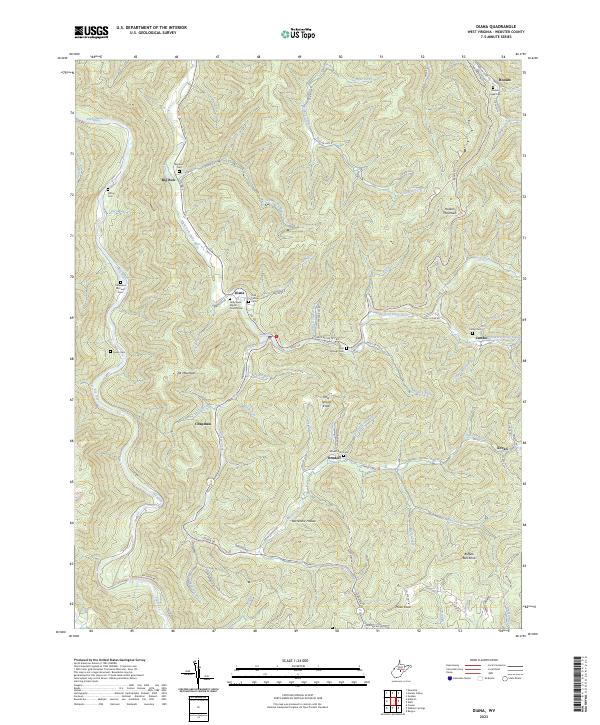
2023 Diana
Webster County, WV
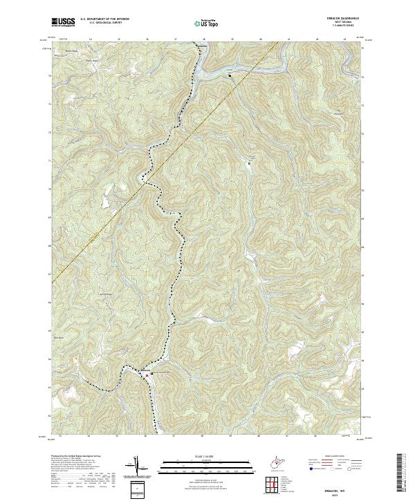
2023 Erbacon
Webster County, WV
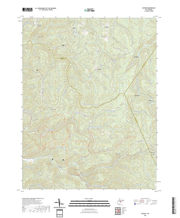
2023 Goshen
Webster County, WV
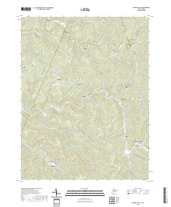
2023 Hacker Valley
Webster County, WV
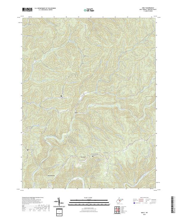
2023 Skelt
Webster County, WV
2023 Webster Springs SW
Webster County, WV
2023 Webster Springs
Webster County, WV
Featured Locations
- Addison (Webster Springs), WV
- Excelsior, WV
- Cherry Falls, WV
- Dyer, WV
- Webster Springs, Addison (Webster Springs)