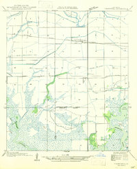
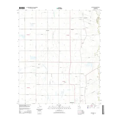
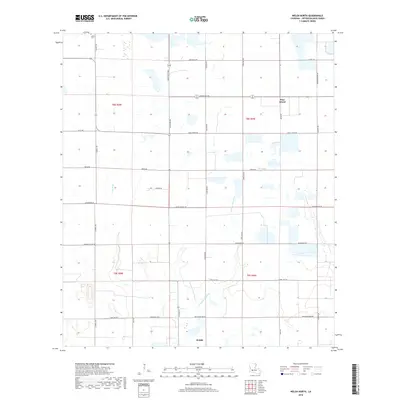
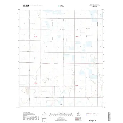
1985 Map of Welsh South
USGS Topo · Published 1985About this map
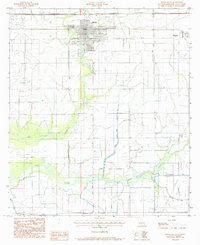
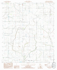
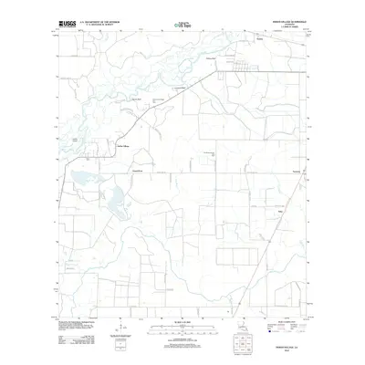
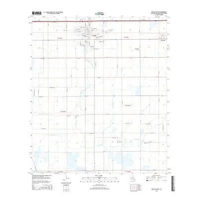
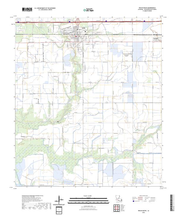
Welsh and the neighboring settlement of Roanoke stand as the primary population centers in this Jefferson Davis Parish landscape, which is heavily defined by its complex irrigation and industrial infrastructure. The map reveals an intricate network of waterways including the Welsh Canal, Niblett Canal, and Canal 2, alongside the natural meandering paths of Bayou Lacassine and Bayou Chene. This region serves as a significant hub for energy extraction, anchored by the Welsh Oil Field to the north and the Lake Arthur Oil & Gas Field to the southeast.
Find a feature on this map
17 named features on this map. Tap any name to fly to it.
Don’t see what you’re looking for? This feature index may not catch every label — zoom into the map to look around manually.
Map Details
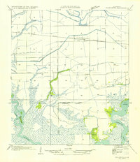
Editions of this 1985 Welsh South Map
This is the sole edition of this map. No revisions or reprints were ever made.
Historical Maps of Welsh Through Time
37 maps found
1947 Edna
Jefferson Davis Parish, LA
1947 Hathaway
Jefferson Davis Parish, LA
1947 Pine Island
Jefferson Davis Parish, LA
1947 Thornwell
Jefferson Davis Parish, LA
1954 Thornwell
Jefferson Davis Parish, LA

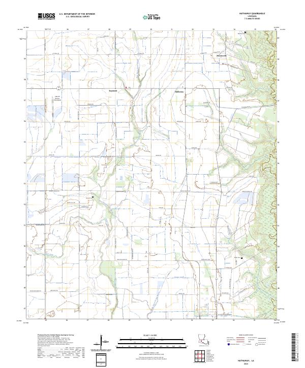
1985 Hathaway
Jefferson Davis Parish, LA
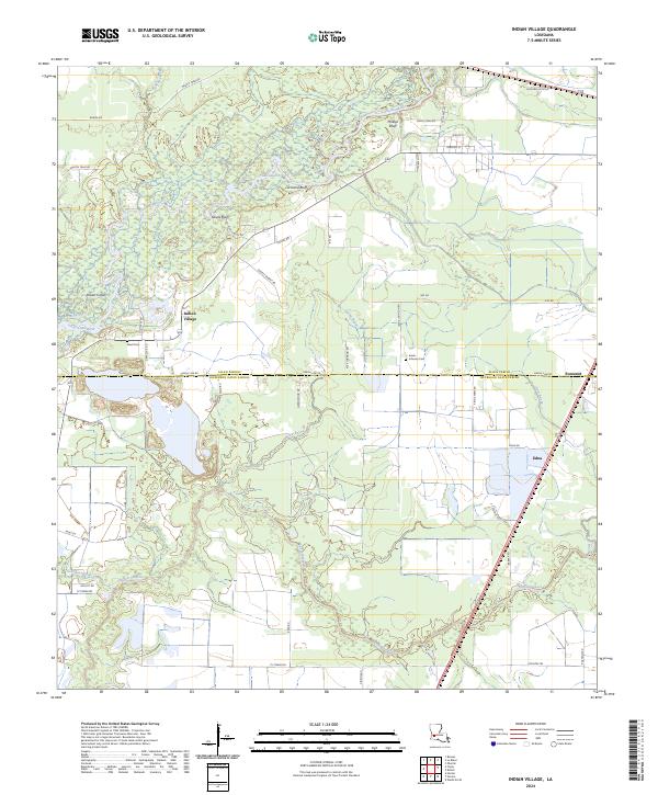
1985 Indian Village
Jefferson Davis Parish, LA
1985 Thornwell
Jefferson Davis Parish, LA
1985 Welsh North
Jefferson Davis Parish, LA
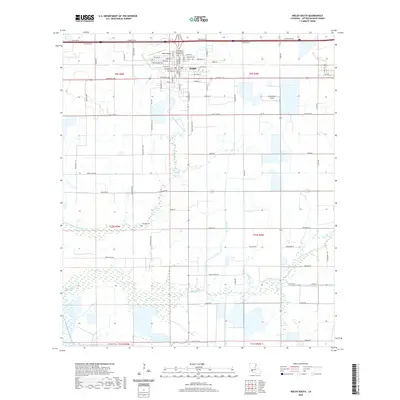
1985 Welsh South
Jefferson Davis Parish, LA
1994 Hathaway
Jefferson Davis Parish, LA
1994 Welsh North
Jefferson Davis Parish, LA
2012 Hathaway
Jefferson Davis Parish, LA
2012 Indian Village
Jefferson Davis Parish, LA
2012 Thornwell
Jefferson Davis Parish, LA
2012 Welsh North
Jefferson Davis Parish, LA
2012 Welsh South
Jefferson Davis Parish, LA
2015 Hathaway
Jefferson Davis Parish, LA
2015 Indian Village
Jefferson Davis Parish, LA
2015 Thornwell
Jefferson Davis Parish, LA
2015 Welsh North
Jefferson Davis Parish, LA
2015 Welsh South
Jefferson Davis Parish, LA
2018 Hathaway
Jefferson Davis Parish, LA
2018 Indian Village
Jefferson Davis Parish, LA
2018 Thornwell
Jefferson Davis Parish, LA
2018 Welsh North
Jefferson Davis Parish, LA
2018 Welsh South
Jefferson Davis Parish, LA
2020 Hathaway
Jefferson Davis Parish, LA

2020 Indian Village
Jefferson Davis Parish, LA
2020 Thornwell
Jefferson Davis Parish, LA
2020 Welsh North
Jefferson Davis Parish, LA
2020 Welsh South
Jefferson Davis Parish, LA
2024 Hathaway
Jefferson Davis Parish, LA
2024 Indian Village
Jefferson Davis Parish, LA
2024 Thornwell
Jefferson Davis Parish, LA
2024 Welsh North
Jefferson Davis Parish, LA
2024 Welsh South
Jefferson Davis Parish, LA