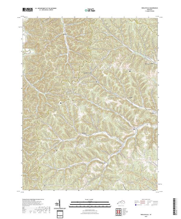
2022 Map of Wesleyville
USGS Topo · Published 2022About this map
The hills of Carter and Lewis County converge near Wesleyville, forming a landscape defined by steep hollows and winding creek beds. This modern topographic record reveals a persistent pattern of rural settlement along waterways like Smiths Creek and Grassy Creek. Local history is anchored by numerous family burying grounds, including the Sexton Cem near Deep Cut and the Amy McGlone Cem along McGlone Fork Rd, reflecting generations of residence in this corner of Kentucky.
Find a feature on this map
113 named features on this map. Tap any name to fly to it.
Don’t see what you’re looking for? This feature index may not catch every label — zoom into the map to look around manually.
Map Details
Editions of this 2022 Wesleyville Map
This is the sole edition of this map. No revisions or reprints were ever made.
Other maps of this area

1915 · Garrison
USGS Topo · 1:62,500

1918 · Garrison
USGS Topo · 1:62,500

1919 · Vanceburg
USGS Topo · 1:62,500

1949 · Vanceburg
USGS Topo · 1:62,500

1949 · Garrison
USGS Topo · 1:24,000

1949 · Vanceburg
USGS Topo · 1:24,000

1949 · Brushart
USGS Topo · 1:24,000

1950 · Brushart
USGS Topo · 1:24,000

1950 · Head Of Grassy
USGS Topo · 1:24,000

1950 · Grahn
USGS Topo · 1:24,000