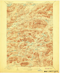
1903 Map of West Canada Lakes
USGS Topo · Published 1907About this map
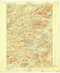
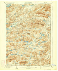
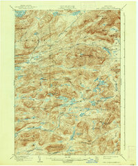
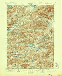
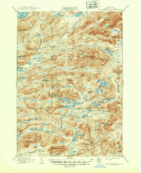
The South Branch Moose River cuts through a high-elevation plateau defined by complex water systems and deep woods at the turn of the century. This 1898 survey captures the intricate hydrology of Hamilton County, where numerous water bodies like Brooktrout Lake and the Twin Lakes feed into larger drainage systems. The landscape is marked by a mix of established outposts and remote landforms, including the flat expanse known as The Plains near Kenwells. Named camps such as Pillsbury Lake Camp and Millers Camp suggest a seasonal economy or early sporting culture established before the era of widespread automobile access. The topography is dominated by peaks like Wakely Mt. and West Canada Mt., which hem in the headwaters of the Indian River and the West Canada Lake basin, providing a record of the region's wilderness character during the early years of New York's forest preservation efforts.
Find a feature on this map
77 named features on this map. Tap any name to fly to it.
Don’t see what you’re looking for? This feature index may not catch every label — zoom into the map to look around manually.
Map Details
Editions of this 1903 West Canada Lakes Map
10 editions found
Other maps of this area

1899 · Indian Lake
USGS Topo · 1:62,500

1900 · Canada Lake
USGS Topo · 1:62,500

1900 · Wilmurt
USGS Topo · 1:62,500

1901 · Old Forge
USGS Topo · 1:62,500

1902 · Wilmurt
USGS Topo · 1:62,500

1902 · Indian Lake
USGS Topo · 1:62,500

1903 · Big Moose
USGS Topo · 1:62,500

1903 · West Canada Lakes
USGS Topo · 1:62,500

1903 · Raquette Lake
USGS Topo · 1:62,500

1903 · Blue Mountain
USGS Topo · 1:62,500