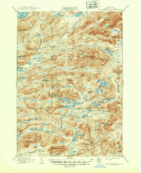
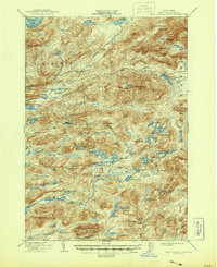
1903 Map of West Canada Lakes
USGS Topo · Published 1948About this map
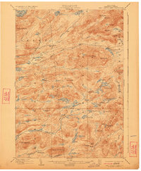
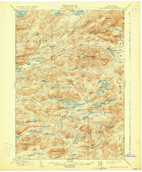
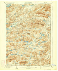
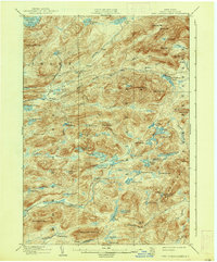
The wilderness of the Adirondack Park is documented in this survey, showing a landscape defined by its remote camps and intricate waterways. Scattered throughout the townships of Inlet, Arietta, and Lake Pleasant, seasonal outposts such as Kenwells and Millers Camp indicate the early development of the region as a recreational and logging frontier. The drainage of the Moose River and the Stillwater River dominates the central topography, while the north is bounded by the Fulton Chain Lakes, specifically Seventh Lake.
Find a feature on this map
88 named features on this map. Tap any name to fly to it.
Don’t see what you’re looking for? This feature index may not catch every label — zoom into the map to look around manually.
Map Details
Editions of this 1903 West Canada Lakes Map
10 editions found
Other maps of this area

1899 · Indian Lake
USGS Topo · 1:62,500

1900 · Canada Lake
USGS Topo · 1:62,500

1900 · Wilmurt
USGS Topo · 1:62,500

1901 · Old Forge
USGS Topo · 1:62,500

1902 · Wilmurt
USGS Topo · 1:62,500

1902 · Indian Lake
USGS Topo · 1:62,500

1903 · Big Moose
USGS Topo · 1:62,500

1903 · West Canada Lakes
USGS Topo · 1:62,500

1903 · Raquette Lake
USGS Topo · 1:62,500

1903 · Blue Mountain
USGS Topo · 1:62,500