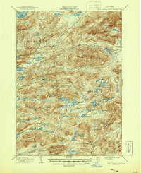
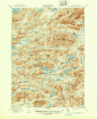
1903 Map of West Canada Lakes
USGS Topo · Published 1944About this map
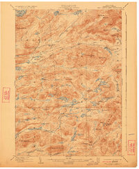
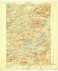
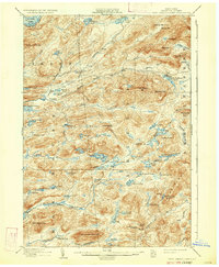
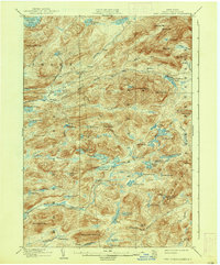
The Plains stretch across this pocket of Hamilton County, surrounded by a dense network of water bodies and high peaks. Surveyed at the end of the 19th century, the area is defined by the headwaters of the South Branch Moose River and the Cedar River, providing a look at the Adirondack interior before the widespread infrastructure of the modern era. Early backcountry outposts like Kenwells and Pillsbury Lake Camp are recorded alongside family-named peaks such as Wakely Mt. and Bradley Mt.. The map illustrates a landscape primarily shaped by logging and early wilderness recreation, centered on the Fulton Chain Lakes and the winding course of the Stillwater River. The isolation of these mountain camps and the intricate network of brooks like Sumner Brook and Butter Brook indicate a territory where travel was dictated by seasonal water flows and narrow forest trails.
Find a feature on this map
84 named features on this map. Tap any name to fly to it.
Don’t see what you’re looking for? This feature index may not catch every label — zoom into the map to look around manually.
Map Details
Editions of this 1903 West Canada Lakes Map
10 editions found
Other maps of this area

1899 · Indian Lake
USGS Topo · 1:62,500

1900 · Canada Lake
USGS Topo · 1:62,500

1900 · Wilmurt
USGS Topo · 1:62,500

1901 · Old Forge
USGS Topo · 1:62,500

1902 · Wilmurt
USGS Topo · 1:62,500

1902 · Indian Lake
USGS Topo · 1:62,500

1903 · Big Moose
USGS Topo · 1:62,500

1903 · West Canada Lakes
USGS Topo · 1:62,500

1903 · Raquette Lake
USGS Topo · 1:62,500

1903 · Blue Mountain
USGS Topo · 1:62,500