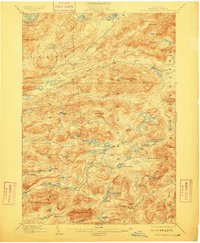
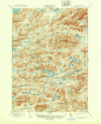
1903 Map of West Canada Lakes
USGS Topo · Published 1909About this map
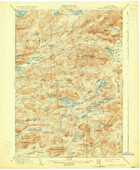
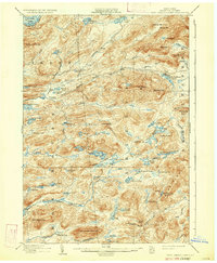
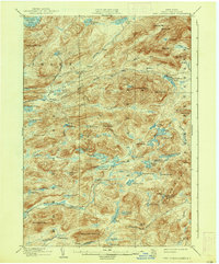
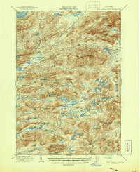
The West Canada Lakes region of Hamilton County is documented here during a period defined by logging camps and early wilderness recreation at the start of the 20th century. This interior Adirondack landscape features isolated outposts such as Kenwells and Millers Camp, which served as critical nodes for early travelers and woodsmen before modern road networks permeated the forest. The map reveals a complex hydrography including the South Branch Moose River and the headwaters of the West Canada River, weaving through a terrain of high peaks like Seventh Lake Mt. and Goodluck Mt.. A notable surveyor's landmark, the Totten and Crossfield Line, cuts across the wilderness, representing the historical colonial-era land grants that shaped New York's northern frontier. Local character is found in evocative names like Helldiver Pond, Sampson Bog, and the curiously named The Plains along the Moose River.
Find a feature on this map
81 named features on this map. Tap any name to fly to it.
Don’t see what you’re looking for? This feature index may not catch every label — zoom into the map to look around manually.
Map Details
Editions of this 1903 West Canada Lakes Map
10 editions found
Other maps of this area

1899 · Indian Lake
USGS Topo · 1:62,500

1900 · Canada Lake
USGS Topo · 1:62,500

1900 · Wilmurt
USGS Topo · 1:62,500

1901 · Old Forge
USGS Topo · 1:62,500

1902 · Wilmurt
USGS Topo · 1:62,500

1902 · Indian Lake
USGS Topo · 1:62,500

1903 · Big Moose
USGS Topo · 1:62,500

1903 · West Canada Lakes
USGS Topo · 1:62,500

1903 · Raquette Lake
USGS Topo · 1:62,500

1903 · Blue Mountain
USGS Topo · 1:62,500