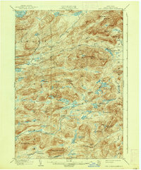
1903 Map of West Canada Lakes
USGS Topo · Published 1937About this map
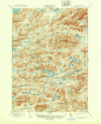
The Moose River and the Stillwater River dominate this turn-of-the-century topographic landscape in Hamilton County, highlighting a wilderness defined by water and high peaks before modern development. The remote settlement of Kenwells stands as a rare human outpost in a region primarily used for timbering and outdoor recreation. A notable geographic feature is The Plains, an area characterized by unique terrain near Helldiver Pond and Icehouse Pond. The map also traces the Crossfield Line, an important surveying boundary that cuts through the mountains near Cobble Hill. To the north, the Fulton Chain Lakes begin with Seventh Lake, reflecting the early importance of these interconnected waterways for travel through the Adirondack interior. Mountain peaks such as Wakely Mt. and Cellar Mt. provide a detailed look at the verticality of the Inlet and Arietta boundary lands during the late Victorian era.
Find a feature on this map
85 named features on this map. Tap any name to fly to it.
Don’t see what you’re looking for? This feature index may not catch every label — zoom into the map to look around manually.
Map Details
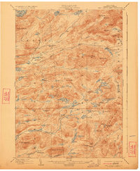
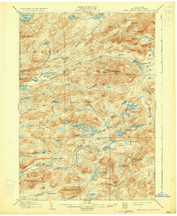
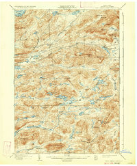
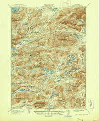
Editions of this 1903 West Canada Lakes Map
10 editions found
Other maps of this area

1899 · Indian Lake
USGS Topo · 1:62,500

1900 · Canada Lake
USGS Topo · 1:62,500

1900 · Wilmurt
USGS Topo · 1:62,500

1901 · Old Forge
USGS Topo · 1:62,500

1902 · Wilmurt
USGS Topo · 1:62,500

1902 · Indian Lake
USGS Topo · 1:62,500

1903 · Big Moose
USGS Topo · 1:62,500

1903 · West Canada Lakes
USGS Topo · 1:62,500

1903 · Raquette Lake
USGS Topo · 1:62,500

1903 · Blue Mountain
USGS Topo · 1:62,500