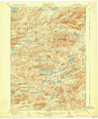
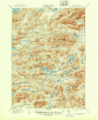
1903 Map of West Canada Lakes
USGS Topo · Published 1931About this map
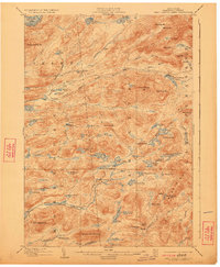
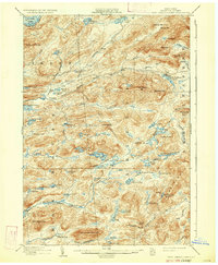
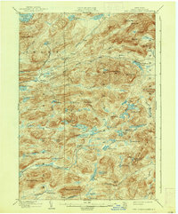
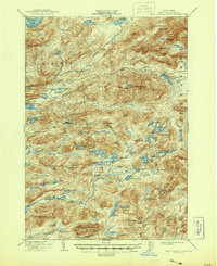
Kenwells and several remote outposts like Millers Camp anchor this turn-of-the-century topographic record of the central Adirondack wilderness. Surveyed in 1898, the landscape is defined by its complex hydrology and high-elevation terrain, featuring the Fulton Chain Lakes in the northwest corner and the headwaters of the Moose River. Large open features such as The Plains contrast with the dense clustering of water bodies like Brooktrout Lake, West Lake, and Whitney Lake. This era represents a period when the region was primarily accessed via seasonal camps and river corridors, before modern infrastructure altered the more primitive character of the backcountry. Notable peaks like Wakely Mt. and Little Moose Mt. overlook the vast drainage basins of the Stillwater River and South Branch Moose River, providing a detailed look at the geographic isolation of these interior woodlands before the expansion of later 20th-century tourism.
Find a feature on this map
86 named features on this map. Tap any name to fly to it.
Don’t see what you’re looking for? This feature index may not catch every label — zoom into the map to look around manually.
Map Details
Editions of this 1903 West Canada Lakes Map
10 editions found
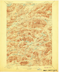
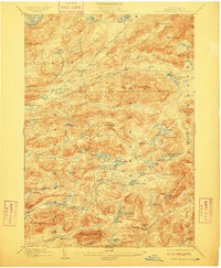
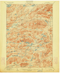
Other maps of this area

1899 · Indian Lake
USGS Topo · 1:62,500

1900 · Canada Lake
USGS Topo · 1:62,500

1900 · Wilmurt
USGS Topo · 1:62,500

1901 · Old Forge
USGS Topo · 1:62,500

1902 · Wilmurt
USGS Topo · 1:62,500

1902 · Indian Lake
USGS Topo · 1:62,500

1903 · Big Moose
USGS Topo · 1:62,500

1903 · West Canada Lakes
USGS Topo · 1:62,500

1903 · Raquette Lake
USGS Topo · 1:62,500

1903 · Blue Mountain
USGS Topo · 1:62,500