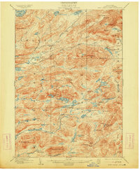
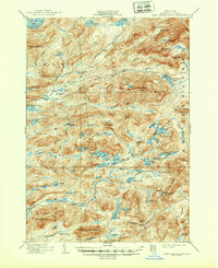
1903 Map of West Canada Lakes
USGS Topo · Published 1913About this map
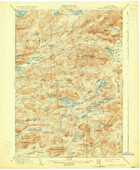
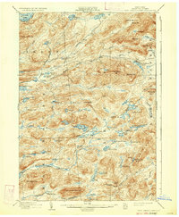
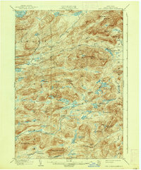
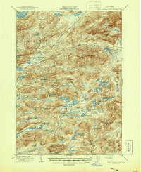
The Moose River South Branch and its complex network of feeder streams define this pocket of Hamilton County, where early 20th-century life centered on seasonal encampments and the rugged timber landscape. The map shows the remote outpost of Kenwells and several named sites like Millers Camp and Pillsbury Lake Camp, reflecting a period when this area was primarily the domain of loggers, guides, and hunters. High peaks including Wakely Mt. and West Canada Mt. overlook a dense concentration of water bodies, from the western edge of the Fulton Chain Lakes at Seventh Lake to the secluded West Canada Lake. The presence of the West Canada Creek Trail and various benchmarks suggests the difficulty of surveying this interior wilderness. Unique terrain features such as The Plains near Icehouse Pond offer a distinct contrast to the surrounding ridges and cobbles that dominate the landscape.
Find a feature on this map
90 named features on this map. Tap any name to fly to it.
Don’t see what you’re looking for? This feature index may not catch every label — zoom into the map to look around manually.
Map Details
Editions of this 1903 West Canada Lakes Map
10 editions found
Other maps of this area

1899 · Indian Lake
USGS Topo · 1:62,500

1900 · Canada Lake
USGS Topo · 1:62,500

1900 · Wilmurt
USGS Topo · 1:62,500

1901 · Old Forge
USGS Topo · 1:62,500

1902 · Wilmurt
USGS Topo · 1:62,500

1902 · Indian Lake
USGS Topo · 1:62,500

1903 · Big Moose
USGS Topo · 1:62,500

1903 · West Canada Lakes
USGS Topo · 1:62,500

1903 · Raquette Lake
USGS Topo · 1:62,500

1903 · Blue Mountain
USGS Topo · 1:62,500