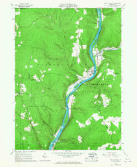
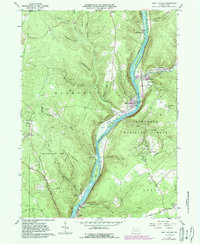
1966 Map of West Hickory
USGS Topo · Published 1967About this map
The Allegheny River carves a deep valley through Forest County, anchoring a landscape defined by the Pennsylvania oil industry and heavy timber. This mid-1960s survey reveals the dense distribution of oil wells and an active oil field concentrated west of the river on Preacher Hill and around Stewart Run. The river is punctuated by large landforms like King Island and Baker Island, while the surrounding uplands include the Cornplanter State Forest and the Allegheny National Forest.
Find a feature on this map
60 named features on this map. Tap any name to fly to it.
Don’t see what you’re looking for? This feature index may not catch every label — zoom into the map to look around manually.
Map Details
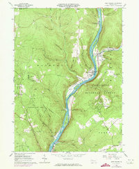
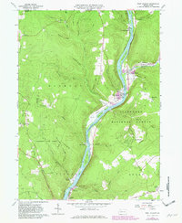
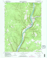
Editions of this 1966 West Hickory Map
5 editions found
Other maps of this area

1922 · Oil City
USGS Topo · 1:48,000

1922 · Tionesta
USGS Topo · 1:62,500

1924 · Oil City
USGS Topo · 1:62,500

1924 · Tionesta
USGS Topo · 1:62,500

1927 · Tidioute
USGS Topo · 1:48,000

1927 · Titusville
USGS Topo · 1:62,500

1930 · Tidioute
USGS Topo · 1:62,500

1933 · Titusville
USGS Topo · 1:62,500

1943 · Oil City
USGS Topo · 1:62,500

1946 · Tionesta
USGS Topo · 1:62,500