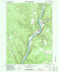
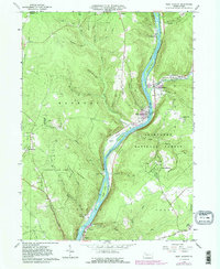
1966 Map of West Hickory
USGS Topo · Published 1989About this map
The Allegheny River defines the central spine of this landscape, carving a deep valley through the northern Pennsylvania highlands. Along its banks, small industrial and lumbering settlements like West Hickory and East Hickory developed near the confluence of Hickory Creek. The map reveals the extensive petroleum history of the region, noting a significant Oil Field on the plateau near Fagundus and numerous individual oil wells scattered across the ridges. Large tracts of protected land, including the Cornplanter State Forest and Allegheny National Forest, surround these upland clearings.
Find a feature on this map
54 named features on this map. Tap any name to fly to it.
Don’t see what you’re looking for? This feature index may not catch every label — zoom into the map to look around manually.
Map Details
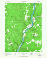
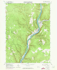
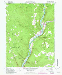
Editions of this 1966 West Hickory Map
5 editions found
Other maps of this area

1922 · Oil City
USGS Topo · 1:48,000

1922 · Tionesta
USGS Topo · 1:62,500

1924 · Oil City
USGS Topo · 1:62,500

1924 · Tionesta
USGS Topo · 1:62,500

1927 · Tidioute
USGS Topo · 1:48,000

1927 · Titusville
USGS Topo · 1:62,500

1930 · Tidioute
USGS Topo · 1:62,500

1933 · Titusville
USGS Topo · 1:62,500

1943 · Oil City
USGS Topo · 1:62,500

1946 · Tionesta
USGS Topo · 1:62,500