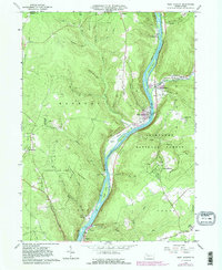
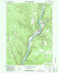
1966 Map of West Hickory
USGS Topo · Published 1989About this map
The Allegheny River snakes through the heart of this mid-1960s landscape, carving out significant riverine features like Hemlock Island, King Island, and Baker Island. The river corridor serves as the primary artery for settlement and industry, connecting the riverside towns of West Hickory, East Hickory, and Trunkeyville. The uplands are heavily defined by resource extraction, dominated by an expansive Oil Field and numerous Oil Wells scattered across the steep ridges of Butternife Hill and Preacher Hill.
Find a feature on this map
61 named features on this map. Tap any name to fly to it.
Don’t see what you’re looking for? This feature index may not catch every label — zoom into the map to look around manually.
Map Details
Editions of this 1966 West Hickory Map
5 editions found
Other maps of this area

1922 · Oil City
USGS Topo · 1:48,000

1922 · Tionesta
USGS Topo · 1:62,500

1924 · Oil City
USGS Topo · 1:62,500

1924 · Tionesta
USGS Topo · 1:62,500

1927 · Tidioute
USGS Topo · 1:48,000

1927 · Titusville
USGS Topo · 1:62,500

1930 · Tidioute
USGS Topo · 1:62,500

1933 · Titusville
USGS Topo · 1:62,500

1943 · Oil City
USGS Topo · 1:62,500

1946 · Tionesta
USGS Topo · 1:62,500