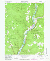
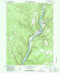
1966 Map of West Hickory
USGS Topo · Published 1982About this map
The Allegheny River defines the geography of this mid-century survey, winding past a series of river islands including Hemlock Island, King Island, and Baker Island. This corridor served as a vital artery for the region's early industry, evidenced by the numerous Oil Fields and individual oil wells scattered across the timbered slopes of the Allegheny National Forest. The map captures the interface between industrial extraction and conservation, with the Cornplanter State Forest protecting the ridges west of the river while the State Fish Hatchery operates near Tionesta in the south.
Find a feature on this map
57 named features on this map. Tap any name to fly to it.
Don’t see what you’re looking for? This feature index may not catch every label — zoom into the map to look around manually.
Map Details
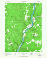
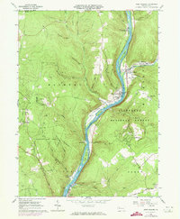
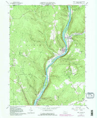
Editions of this 1966 West Hickory Map
5 editions found
Other maps of this area

1922 · Oil City
USGS Topo · 1:48,000

1922 · Tionesta
USGS Topo · 1:62,500

1924 · Oil City
USGS Topo · 1:62,500

1924 · Tionesta
USGS Topo · 1:62,500

1927 · Tidioute
USGS Topo · 1:48,000

1927 · Titusville
USGS Topo · 1:62,500

1930 · Tidioute
USGS Topo · 1:62,500

1933 · Titusville
USGS Topo · 1:62,500

1943 · Oil City
USGS Topo · 1:62,500

1946 · Tionesta
USGS Topo · 1:62,500