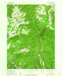
1960 Map of West Kill
USGS Topo · Published 1962About this map
The Catskill Park (State Forest Preserve) dominates this 1960 landscape, where the high ridges of Vly Mtn, Halcott Mtn, and Balsam Mtn define a network of steep hollows and narrow valleys. This survey captures a moment when the regional transport network relied on State Hwy 42 and the New York Central railroad, which skirts the southern boundary near Highmount and Pine Hill. Local history is anchored in the small valley floor settlements of Halcott Center, Bushnellsville, and the quadrangle's namesake, West Kill. The mapping reveals the distribution of early community landmarks, including the Hunter Tannersville Central Sch and several small burial grounds such as Halcott Cem and Crosby Cem. The drainage patterns of Schoharie Creek and Bushnellsville Creek illustrate how the terrain dictated the placement of homesteads and roads through passages like Deep Notch.
Find a feature on this map
49 named features on this map. Tap any name to fly to it.
Don’t see what you’re looking for? This feature index may not catch every label — zoom into the map to look around manually.
Map Details
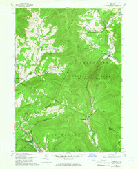
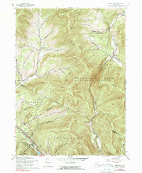
Editions of this 1960 West Kill Map
3 editions found
Other maps of this area

1900 · Phoenicia
USGS Topo · 1:62,500

1901 · Margaretville
USGS Topo · 1:62,500

1901 · Gilboa
USGS Topo · 1:62,500

1903 · Gilboa
USGS Topo · 1:62,500

1903 · Phoenicia
USGS Topo · 1:62,500

1904 · Hobart
USGS Topo · 1:62,500

1904 · Margaretville
USGS Topo · 1:62,500
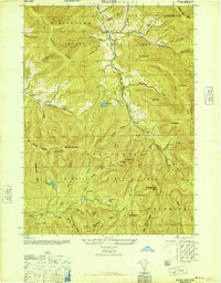
1945 · Seager
USGS Topo · 1:24,000

1945 · West Kill
USGS Topo · 1:24,000

1945 · Fleischmanns
USGS Topo · 1:24,000