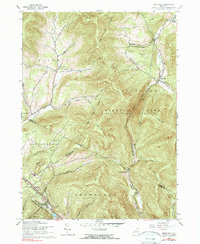
1960 Map of West Kill
USGS Topo · Published 1990About this map
The Catskill Park (State Forest Preserve) dominates this mountain landscape at the meeting point of Greene, Delaware, and Ulster counties. The high-altitude terrain is defined by prominent peaks like Vly Mtn and Halcott Mtn, while human settlement is concentrated in the deep valleys. In the south, the village of Pine Hill serves as a hub near the New York Central railroad line, while the northern valleys support the small community of West Kill. Genealogists will find several burial sites preserved in the hills, including Halcott Cem, Crosby Cem, and the Elk Creek Cem. A significant piece of regional infrastructure, the Shandaken Tunnel (Aqueduct), cuts through the subterranean layers of the Shandaken area. The map also reveals the narrow passage of Deep Notch, a dramatic geological feature between Rose Mtn and the surrounding slopes that has historically dictated local travel routes.
Find a feature on this map
53 named features on this map. Tap any name to fly to it.
Don’t see what you’re looking for? This feature index may not catch every label — zoom into the map to look around manually.
Map Details
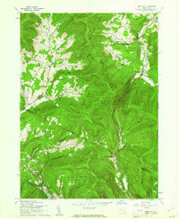
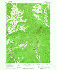
Editions of this 1960 West Kill Map
3 editions found
Other maps of this area

1900 · Phoenicia
USGS Topo · 1:62,500

1901 · Margaretville
USGS Topo · 1:62,500

1901 · Gilboa
USGS Topo · 1:62,500

1903 · Gilboa
USGS Topo · 1:62,500

1903 · Phoenicia
USGS Topo · 1:62,500

1904 · Hobart
USGS Topo · 1:62,500

1904 · Margaretville
USGS Topo · 1:62,500
1945 · Seager
USGS Topo · 1:24,000

1945 · West Kill
USGS Topo · 1:24,000

1945 · Fleischmanns
USGS Topo · 1:24,000