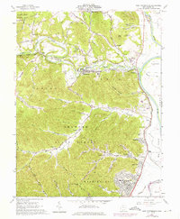
1961 Map of West Portsmouth
USGS Topo · Published 1976About this map
McDermott and the surrounding river bottoms of the Scioto River valley dominate this landscape at the beginning of the 1960s. The region is defined by a dense network of country roads following deep hollows, such as Noel Hollow Run and Little Cave Lick Hollow, leading into the protected timberlands of the Shawnee State Forest and Brush Creek State Forest. Evidence of a long-standing extractive economy is found in the large Quarries near McDermott, while the presence of the Tremper Mound near the riverbank offers a glimpse into the prehistoric heritage of the valley. Local life is anchored by family-named landmarks and rural institutions, from the Township High Sch to numerous remote cemeteries like Duncan Cem and Seymore Cem. Along the eastern edge, the Norfolk and Western tracks follow the river's curve, serving settlements like Rushtown and industrial points like Book Siding.
Find a feature on this map
84 named features on this map. Tap any name to fly to it.
Don’t see what you’re looking for? This feature index may not catch every label — zoom into the map to look around manually.
Map Details
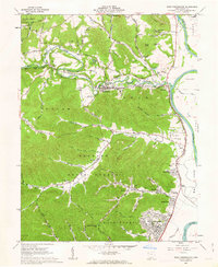
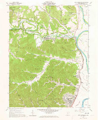
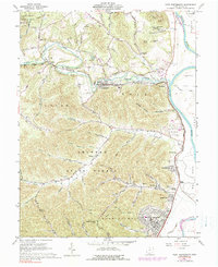
Editions of this 1961 West Portsmouth Map
4 editions found
Other maps of this area

1911 · Sciotoville
USGS Topo · 1:62,500

1913 · Sciotoville
USGS Topo · 1:62,500

1915 · Garrison
USGS Topo · 1:62,500

1915 · Otway
USGS Topo · 1:62,500

1917 · Otway
USGS Topo · 1:62,500

1918 · Garrison
USGS Topo · 1:62,500

1926 · Greenup
USGS Topo · 1:48,000

1930 · Greenup
USGS Topo · 1:62,500

1949 · Pond Run
USGS Topo · 1:24,000

1949 · Friendship
USGS Topo · 1:24,000