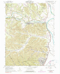
1961 Map of West Portsmouth
USGS Topo · Published 1990About this map
The Scioto River defines the eastern edge of this landscape, where the flat valley floor meets the rising timberlands of the Shawnee State Forest and Brush Creek State Forest. During the early 1960s, the region was characterized by small riverside communities like West Portsmouth and Coles Park, alongside inland industrial operations including several Quarries near McDermott. A notable historical site is the Tremper Mound, located near the riverbank, which points to the area's ancient indigenous history.
Find a feature on this map
79 named features on this map. Tap any name to fly to it.
Don’t see what you’re looking for? This feature index may not catch every label — zoom into the map to look around manually.
Map Details
Editions of this 1961 West Portsmouth Map
4 editions found
Other maps of this area

1911 · Sciotoville
USGS Topo · 1:62,500

1913 · Sciotoville
USGS Topo · 1:62,500

1915 · Garrison
USGS Topo · 1:62,500

1915 · Otway
USGS Topo · 1:62,500

1917 · Otway
USGS Topo · 1:62,500

1918 · Garrison
USGS Topo · 1:62,500

1926 · Greenup
USGS Topo · 1:48,000

1930 · Greenup
USGS Topo · 1:62,500

1949 · Pond Run
USGS Topo · 1:24,000

1949 · Friendship
USGS Topo · 1:24,000