
1908 Map of Wheaton
USGS Topo · Published 1908About this map
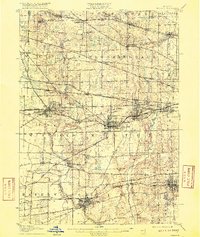
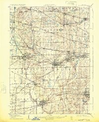
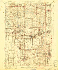
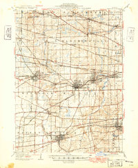
Naperville and Wheaton anchor this early 20th-century landscape, which reveals a transition from agrarian townships to a sophisticated rail corridor. The intricate rail network is the defining characteristic of this era, featuring the Chicago and Northwestern Ry and the Aurora Elgin and Chicago Electric Ry cutting across the prairies of Winfield and Milton. These lines fostered the growth of towns like Glen Ellyn and Lombard, while smaller rural stops such as Cloverdale and Gretna serviced the surrounding farms.
Find a feature on this map
61 named features on this map. Tap any name to fly to it.
Don’t see what you’re looking for? This feature index may not catch every label — zoom into the map to look around manually.
Map Details
Editions of this 1908 Wheaton Map
5 editions found
Other maps of this area

1890 · Des Plaines
USGS Topo · 1:62,500

1891 · Riverside
USGS Topo · 1:62,500

1892 · Joliet
USGS Topo · 1:62,500

1893 · Riverside
USGS Topo · 1:62,500

1894 · Des Plaines
USGS Topo · 1:62,500

1900 · Des Plaines
USGS Topo · 1:62,500

1900 · Riverside
USGS Topo · 1:62,500

1900 · Highwood
USGS Topo · 1:62,500

1901 · Des Plaines
USGS Topo · 1:62,500

1901 · Riverside
USGS Topo · 1:62,500