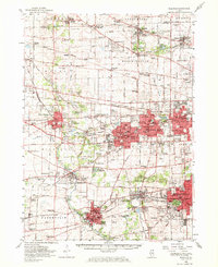
1954 Map of Wheaton
USGS Topo · Published 1970About this map
Wheaton and Glen Ellyn serve as the central anchors of this mid-century portrait of DuPage County, illustrating a landscape in rapid transition. The density of educational and religious institutions is striking, from Wheaton College and Maryknoll Seminary to the campus of St Procopius College. The expansive Morton Arboretum preserves a significant green space amidst the burgeoning residential areas of Lisle and Downers Grove.
Find a feature on this map
141 named features on this map. Tap any name to fly to it.
Don’t see what you’re looking for? This feature index may not catch every label — zoom into the map to look around manually.
Map Details
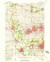
Editions of this 1954 Wheaton Map
2 editions found
Other maps of this area

1890 · Des Plaines
USGS Topo · 1:62,500

1891 · Riverside
USGS Topo · 1:62,500

1892 · Joliet
USGS Topo · 1:62,500

1893 · Riverside
USGS Topo · 1:62,500

1894 · Des Plaines
USGS Topo · 1:62,500

1900 · Des Plaines
USGS Topo · 1:62,500

1900 · Riverside
USGS Topo · 1:62,500

1900 · Highwood
USGS Topo · 1:62,500

1901 · Des Plaines
USGS Topo · 1:62,500

1901 · Riverside
USGS Topo · 1:62,500