
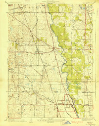
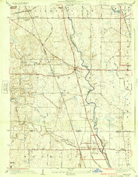
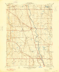
1928 Map of Wheeling
USGS Topo · Published 1928About this map
The Des Plaines River winds through this 1920s landscape, serving as a central artery between developing townships and established agricultural lands. Before the extensive suburbanization of later decades, the region was defined by a network of rural schools and small settlements like Aptakisic, Halfday, and Prairie View. The mapping shows a significant transition in transportation, where the iron rails of the Minneapolis St Paul and Sault Ste Marie and the Elgin Joliet and Eastern meet early paved routes such as the Lake Zurich State Highway.
Find a feature on this map
49 named features on this map. Tap any name to fly to it.
Don’t see what you’re looking for? This feature index may not catch every label — zoom into the map to look around manually.
Map Details
Editions of this 1928 Wheeling Map
4 editions found
Other maps of this area

1900 · Highwood
USGS Topo · 1:62,500

1906 · Waukegan
USGS Topo · 1:62,500

1908 · Waukegan
USGS Topo · 1:62,500

1920 · Grays Lake
USGS Topo · 1:62,500

1923 · Grays Lake
USGS Topo · 1:62,500

1923 · Barrington
USGS Topo · 1:62,500

1927 · Arlington Heights
USGS Topo · 1:24,000

1928 · Highland Park
USGS Topo · 1:24,000

1929 · Park Ridge
USGS Topo · 1:24,000

1935 · Barrington
USGS Topo · 1:62,500