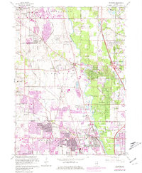
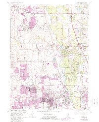
1963 Map of Wheeling
USGS Topo · Published 1981About this map
The Des Plaines River corridor defines this portion of northern Illinois, showing a landscape in transition as postwar suburban expansion meets established agricultural and institutional land. Significant tracts are dedicated to leisure and education, from the Lake Forest Academy in the north to the Arlington Golf Club further south. The map documents the early years of the Tri-State Tollway, a critical piece of infrastructure that accelerated the growth of communities like Buffalo Grove and Lincolnshire.
Find a feature on this map
82 named features on this map. Tap any name to fly to it.
Don’t see what you’re looking for? This feature index may not catch every label — zoom into the map to look around manually.
Map Details
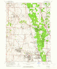
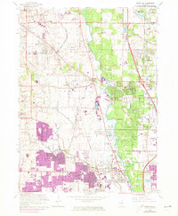
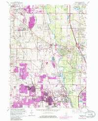
Editions of this 1963 Wheeling Map
5 editions found
Other maps of this area

1900 · Highwood
USGS Topo · 1:62,500

1906 · Waukegan
USGS Topo · 1:62,500

1908 · Waukegan
USGS Topo · 1:62,500

1920 · Grays Lake
USGS Topo · 1:62,500

1923 · Grays Lake
USGS Topo · 1:62,500

1923 · Barrington
USGS Topo · 1:62,500

1927 · Arlington Heights
USGS Topo · 1:24,000

1928 · Wheeling
USGS Topo · 1:24,000

1928 · Highland Park
USGS Topo · 1:24,000

1929 · Park Ridge
USGS Topo · 1:24,000