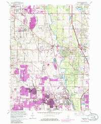
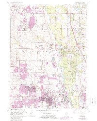
1963 Map of Wheeling
USGS Topo · Published 1986About this map
The Des Plaines River corridor and its surrounding agricultural and suburban developments define this mid-century landscape. Following the Milwaukee Road, a string of established settlements like Half Day and Aptakisic are visible alongside the newer expansion of Wheeling and Buffalo Grove. This map captures a significant period of suburban growth in northern Illinois, where purple revision overlays reveal the rapid conversion of open fields into residential neighborhoods and recreational spaces like the Indian Valley Country Club.
Find a feature on this map
89 named features on this map. Tap any name to fly to it.
Don’t see what you’re looking for? This feature index may not catch every label — zoom into the map to look around manually.
Map Details
Editions of this 1963 Wheeling Map
5 editions found
Other maps of this area

1900 · Highwood
USGS Topo · 1:62,500

1906 · Waukegan
USGS Topo · 1:62,500

1908 · Waukegan
USGS Topo · 1:62,500

1920 · Grays Lake
USGS Topo · 1:62,500

1923 · Grays Lake
USGS Topo · 1:62,500

1923 · Barrington
USGS Topo · 1:62,500

1927 · Arlington Heights
USGS Topo · 1:24,000

1928 · Wheeling
USGS Topo · 1:24,000

1928 · Highland Park
USGS Topo · 1:24,000

1929 · Park Ridge
USGS Topo · 1:24,000