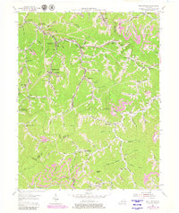
1954 Map of Wheelwright
USGS Topo · Published 1979About this map
The Wheelwright mining region of eastern Kentucky is documented here at a time of intensive industrial extraction and complex mountain settlement. As a company town, Wheelwright is central to the map, supported by significant infrastructure like the Chesapeake and Ohio railroad and specialized facilities such as the Dunbar High Sch. The map reveals the deep integration of the coal industry into the landscape, with numerous Strip Mine sites, an Incline, and a Conveyor system moving material through the narrow valleys of Beaver Creek and Left Fork.
Find a feature on this map
92 named features on this map. Tap any name to fly to it.
Don’t see what you’re looking for? This feature index may not catch every label — zoom into the map to look around manually.
Map Details
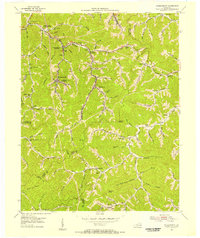
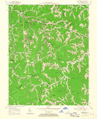
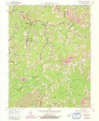
Editions of this 1954 Wheelwright Map
4 editions found
Other maps of this area

1890 · Whitesburg
USGS Topo · 1:125,000

1892 · Whitesburg
USGS Topo · 1:125,000

1912 · Pound
USGS Topo · 1:48,000

1912 · Hindman
USGS Topo · 1:48,000

1913 · Oven Fork
USGS Topo · 1:48,000

1914 · Pound
USGS Topo · 1:62,500

1914 · Vergie
USGS Topo · 1:48,000

1915 · Hindman
USGS Topo · 1:62,500

1915 · Whitesburg
USGS Topo · 1:62,500

1916 · Pikeville
USGS Topo · 1:62,500