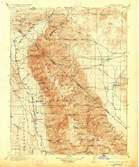
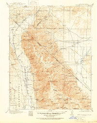
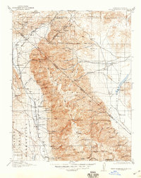
1917 Map of White Mountain
USGS Topo · Published 1926About this map
The high-desert terrain of the Inyo National Forest straddles the California and Nevada border during the mid-1910s, defined by the towering White Mountain Peak and the remote Fish Lake Valley. This landscape reflects a period of mining activity and livestock ranching, with the Southern Pacific railroad running along the western edge through Benton Sta. Numerous small-scale operations like the Queen Mine, Black Warrior Mine, and Sacramento Mine are scattered throughout the canyons, while the valley floor is dotted with family holdings such as the McNett Ranch and Dyer Ranch. A unique glimpse into local nomenclature is found at Grey Haired Johnnys Corral, suggesting the personal history of early stockmen. The presence of the Mocalno PO and McNett School indicates a sparse but established community reliant on the springs and creeks flowing from the high peaks.
Find a feature on this map
106 named features on this map. Tap any name to fly to it.
Don’t see what you’re looking for? This feature index may not catch every label — zoom into the map to look around manually.
Map Details
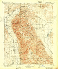
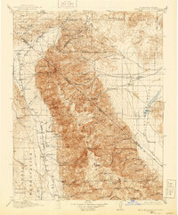
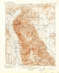
Editions of this 1917 White Mountain Map
7 editions found

Other maps of this area

1898 · Silver Peak
USGS Topo · 1:125,000

1900 · Silver Peak
USGS Topo · 1:125,000

1907 · Tonopah
USGS Topo · 1:250,000

1908 · Lida
USGS Topo · 1:250,000

1908 · Tonopah
USGS Topo · 1:250,000

1909 · Hawthorne
USGS Topo · 1:250,000

1911 · Hawthorne
USGS Topo · 1:250,000

1912 · Mt. Goddard
USGS Topo · 1:125,000

1913 · Bishop
USGS Topo · 1:125,000

1913 · Lida
USGS Topo · 1:250,000