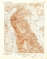
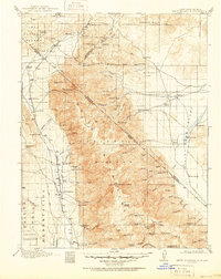
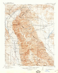
1917 Map of White Mountain
USGS Topo · Published 1947About this map
White Mountain Peak and the surrounding high-altitude desert of the Mono National Forest and Inyo National Forest dominate this landscape during the First World War era. Straddling the high border between California and Nevada, the survey captures a network of remote ranching outposts and high-elevation mining operations. Along the Southern Pacific rail line, small hubs like Benton Sta and the Cinnamon Ranch Mocalno PO served as vital connections for the region's isolated residents. The map provides a remarkable level of detail for local historians and genealogists, documenting named family properties such as the Pellissier Ranch, Taylor Ranch, and McNett Ranch. Evidence of a specialized mountain economy is seen in the high-elevation corrals, including the Grey Haired Johnnys Corral and Stone Corral, alongside various mining claims like the Queen Mine and Gold Hill.
Find a feature on this map
89 named features on this map. Tap any name to fly to it.
Don’t see what you’re looking for? This feature index may not catch every label — zoom into the map to look around manually.
Map Details
Editions of this 1917 White Mountain Map
7 editions found

Other maps of this area

1898 · Silver Peak
USGS Topo · 1:125,000

1900 · Silver Peak
USGS Topo · 1:125,000

1907 · Tonopah
USGS Topo · 1:250,000

1908 · Lida
USGS Topo · 1:250,000

1908 · Tonopah
USGS Topo · 1:250,000

1909 · Hawthorne
USGS Topo · 1:250,000

1911 · Hawthorne
USGS Topo · 1:250,000

1912 · Mt. Goddard
USGS Topo · 1:125,000

1913 · Bishop
USGS Topo · 1:125,000

1913 · Lida
USGS Topo · 1:250,000