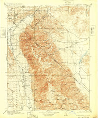
1917 Map of White Mountain
USGS Topo · Published 1932About this map
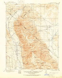
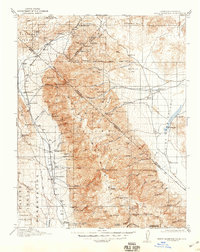
White Mountain Peak dominates this high-altitude survey of the borderlands between California and Nevada, a landscape where early twentieth-century mining and ranching intersected with the burgeoning infrastructure of the Inyo National Forest. Along the western foothills, the Southern Pacific railroad serves a string of ranching outposts and settlements including Benton Sta, Hammil, and Shealy. These lowland stations contrast with the high-mountain economy evidenced by the Tip Top Mine, Queen Mine, and Sacramento Mine, which reflect the region's mineral extraction history.
Find a feature on this map
100 named features on this map. Tap any name to fly to it.
Don’t see what you’re looking for? This feature index may not catch every label — zoom into the map to look around manually.
Map Details
Editions of this 1917 White Mountain Map
7 editions found

Other maps of this area

1898 · Silver Peak
USGS Topo · 1:125,000

1900 · Silver Peak
USGS Topo · 1:125,000

1907 · Tonopah
USGS Topo · 1:250,000

1908 · Lida
USGS Topo · 1:250,000

1908 · Tonopah
USGS Topo · 1:250,000

1909 · Hawthorne
USGS Topo · 1:250,000

1911 · Hawthorne
USGS Topo · 1:250,000

1912 · Mt. Goddard
USGS Topo · 1:125,000

1913 · Bishop
USGS Topo · 1:125,000

1913 · Lida
USGS Topo · 1:250,000